Makemo (Our Fourth Atoll)
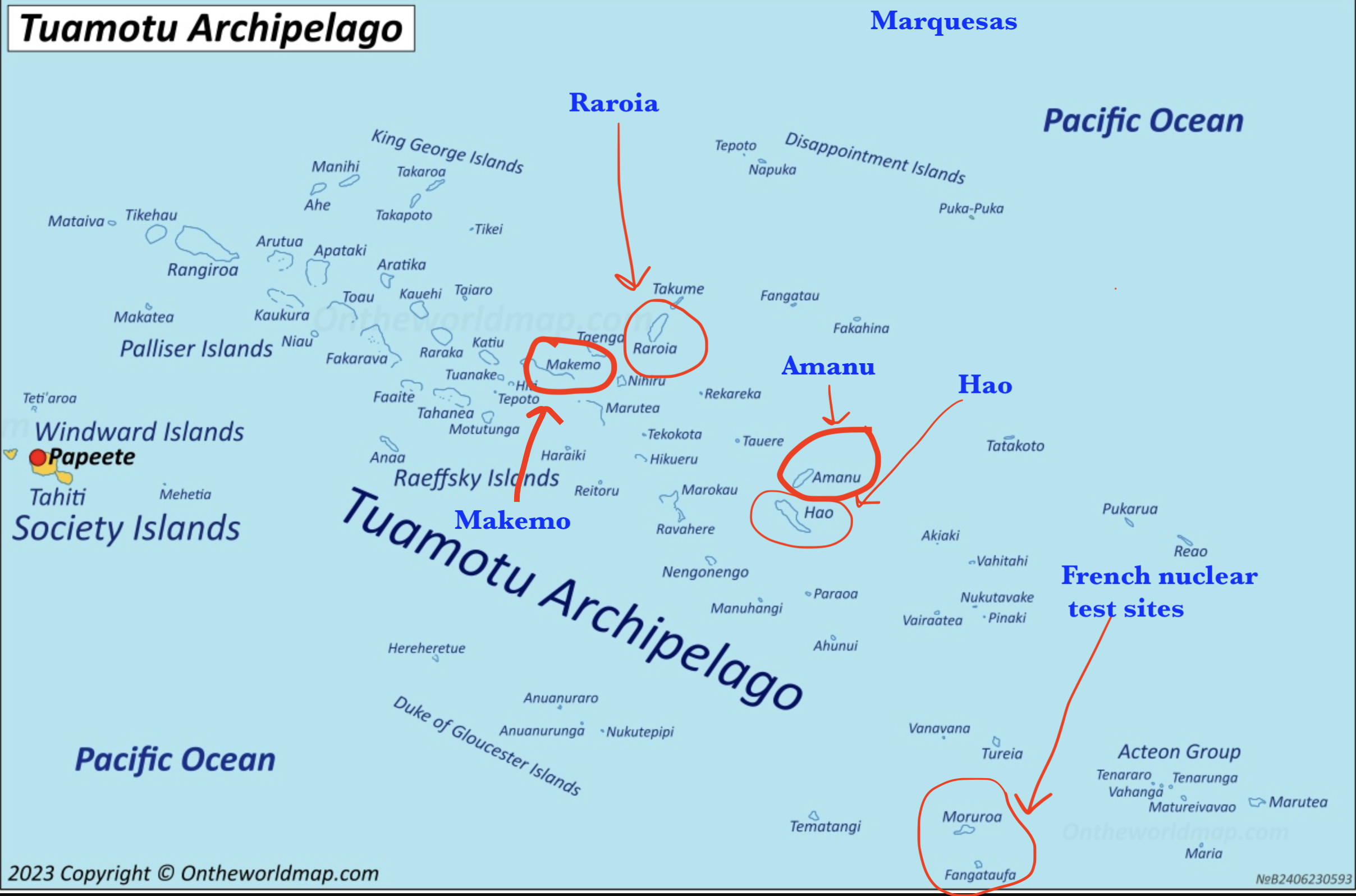
Map from ontheworldmap.com
After an extended stay in Raroia, we picked up the pace a bit in Makemo, spurred on by an upcoming weather event that would have pinned us down for another week or more if we hadn’t left when we did. Still, we managed to visit a number of different anchorages in 5 different areas of the atoll and feel like we got in some good exploring.
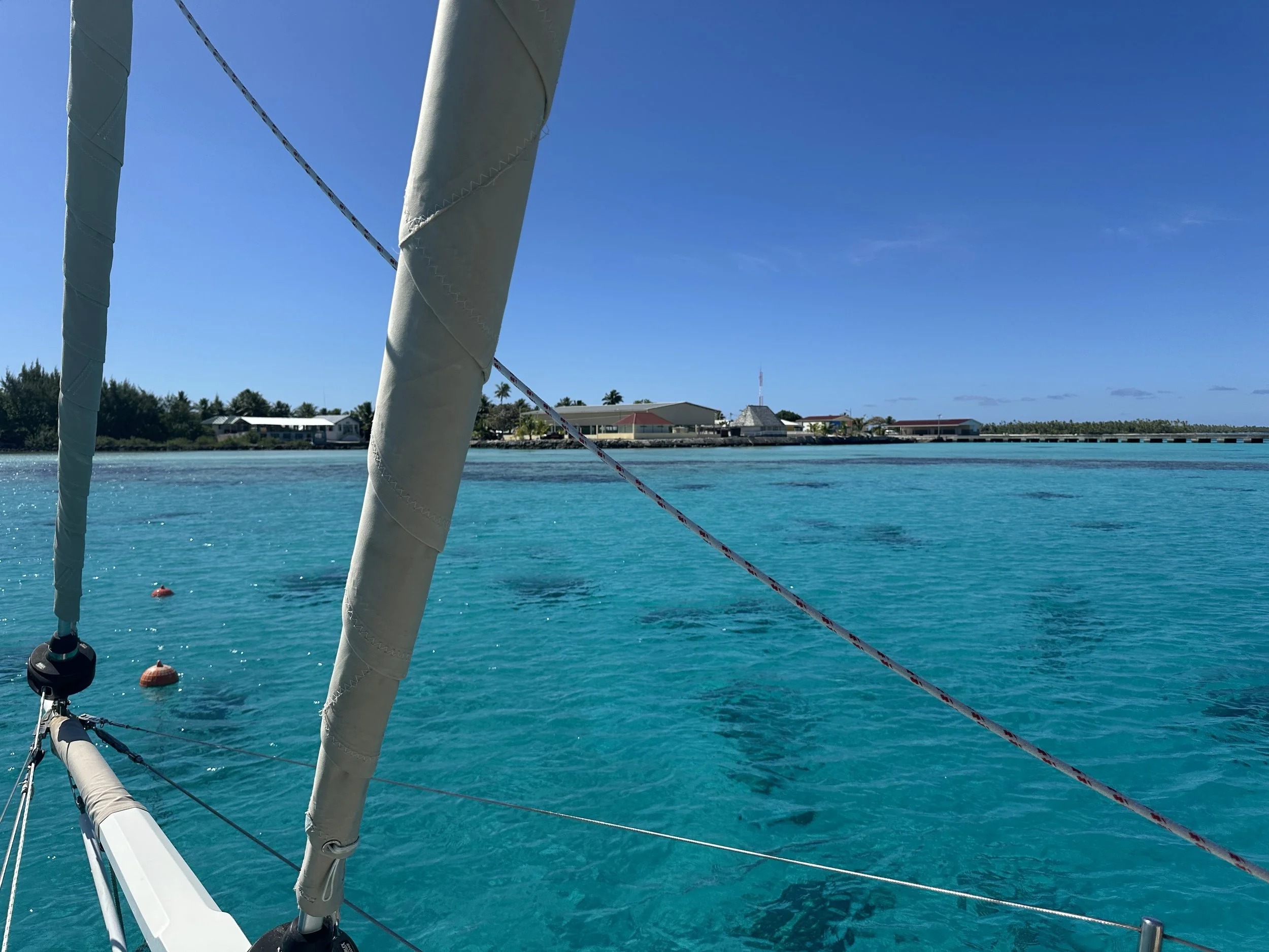
Makemo has 2 viable passes into the atoll, and we came in through the eastern one, called Pass Arikitamiro. Unfortunately, our passage from Raroia was mostly a motoring one as the forecast 10-15 knots of wind never materialized, and when wind speeds dropped to 4 knots and our projected arrival time was after dark . . . we fired up the motor to be able to enter the pass in daylight. We navigated the pass easily in almost slack conditions and made our way to the anchorage off of Pouheva, the main village.
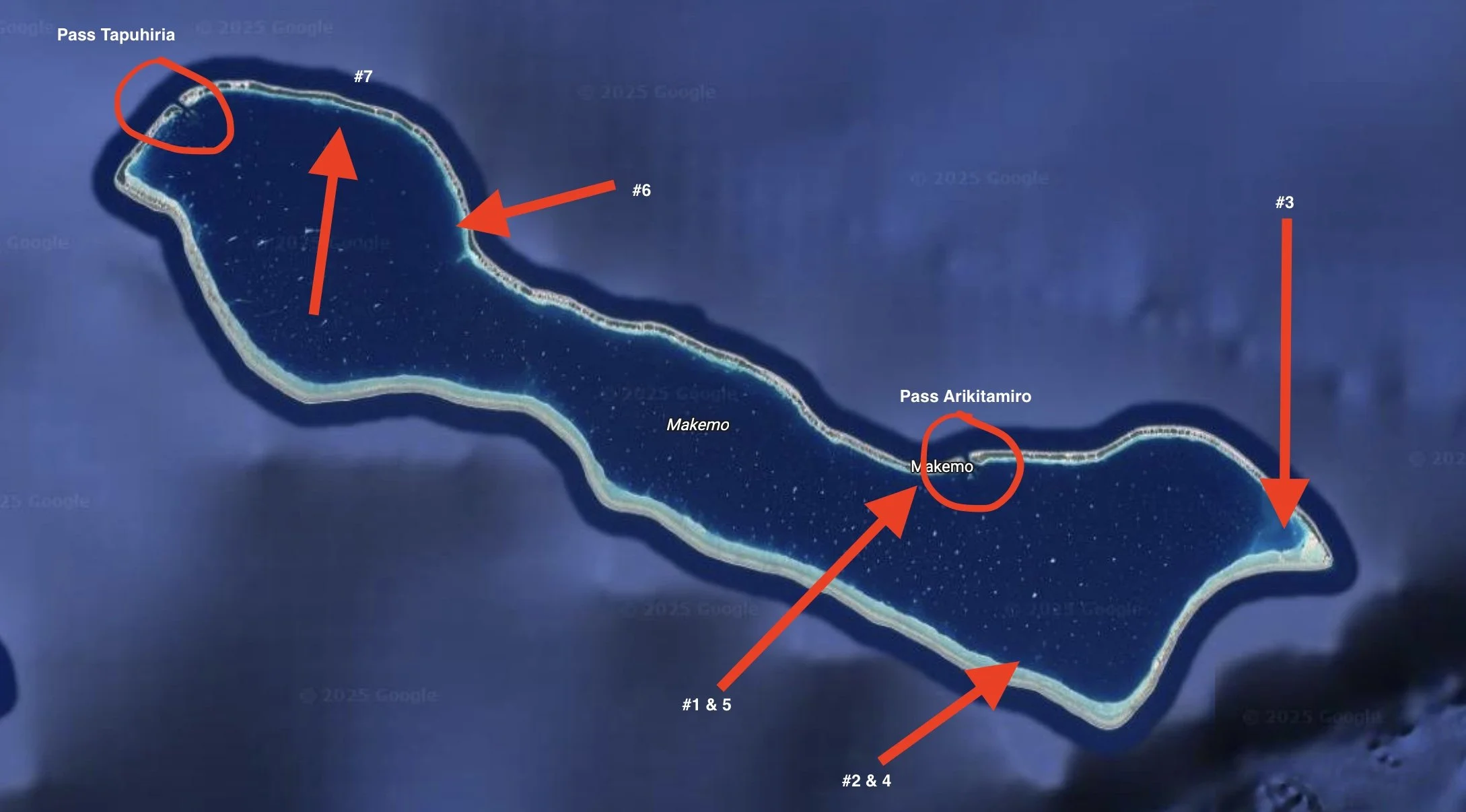
Makemo. Map from Google Maps.
Anchorage #1 (and 5) was off of Pouheva, the town. Many cruisers choose to tie up to the large concrete dock, probably for ease of access to shore and the novelty of tying up to a dock for the first time in a while. We anchored in the bommie-strewn anchorage and floated our chain, thinking we’d be there for a day or maybe two while the weather stayed settled. We prefer anchoring for lots of reasons, one of which is that we don’t have to worry about rats coming aboard uninvited. We did miss out on the local kids using the boat as a trampoline/diving platform, though Jeremy found himself unexpectedly playing “give the kids a ride” on the paddle board when he ventured close to the dock.
Anchored off of Pouheva. Note bommies, floats on the chain, and the long dock.
Makemo is one of the larger atolls, both in terms of geographic size but also population. About 1000 people live here, making it maybe the 4th most populated in the whole archipelago. There are multiple options for grocery stores, a few only-open-for-dinner “snacks” (a less formal restaurant of sorts), at least 3 churches, and the College, the after-age-10 school for all kids within the multi-atoll jurisdiction, which covers 12 inhabited atolls. Can you imagine sending your kids away to school starting at age 10? After they turn 15, everyone goes to Tahiti for further schooling. It appears to be more prosperous than Raroia, with painted concrete low walls separating properties, and the same open feeling. This is the first atoll where we’ve seen evidence of boat building.
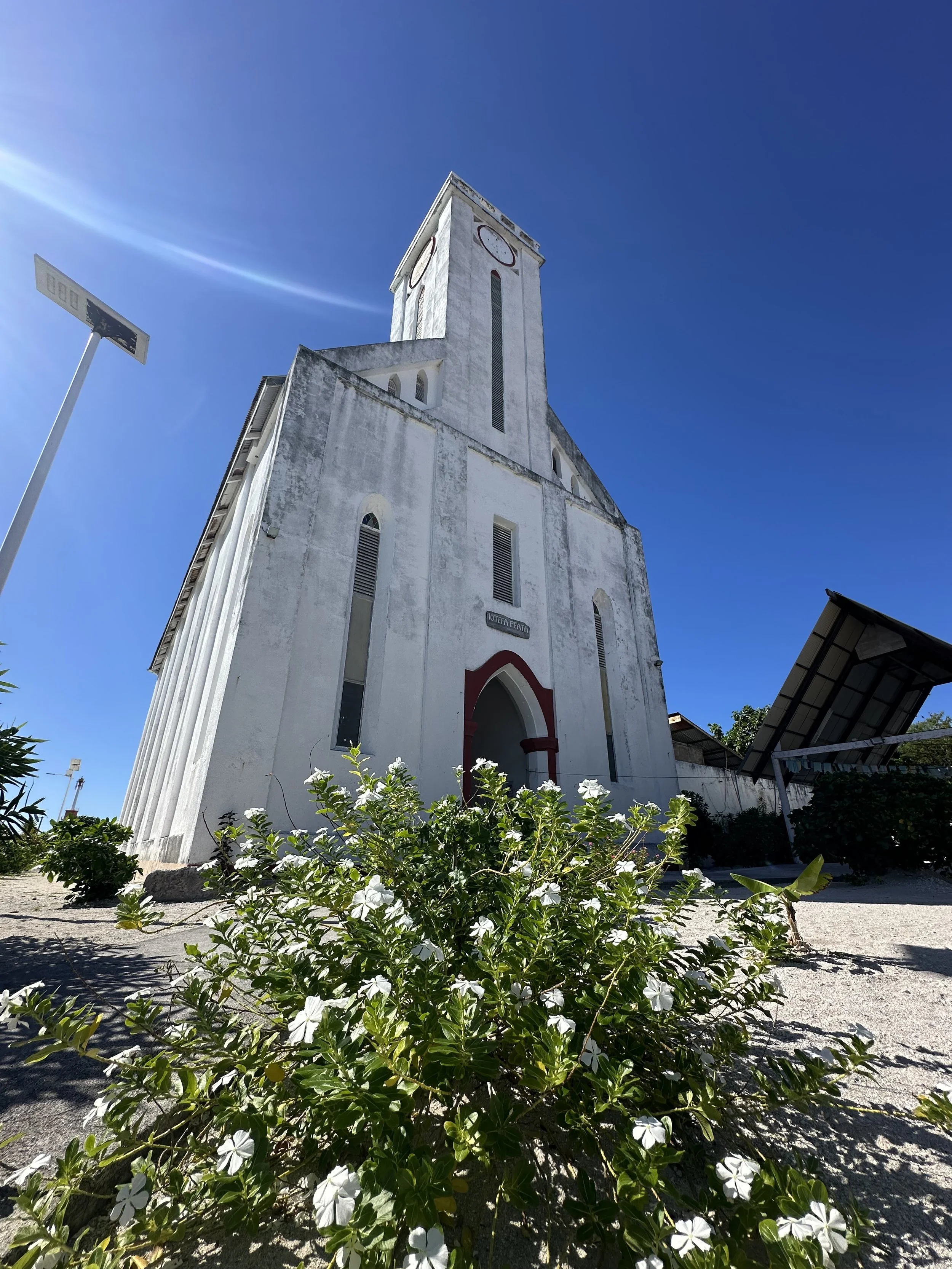
Flowers in front of one of the churches
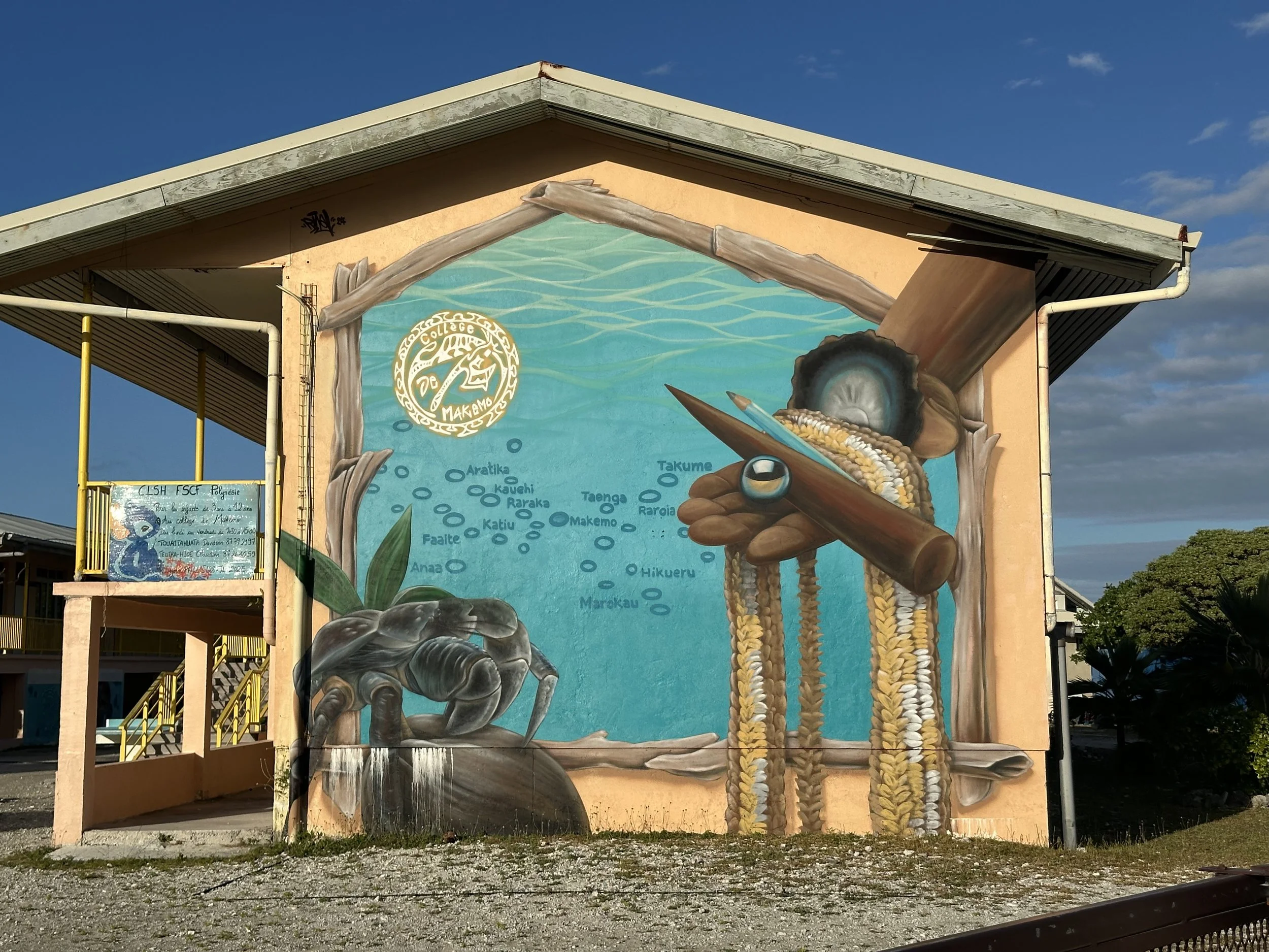
College of Makemo
We were pleasantly surprised by the availability of fresh produce especially given the fact that the boat had been there a few days before, which in our experience usually translates to empty shelves where produce might be. Tomatoes, lettuce, cabbage, carrots, cucumber, zucchini. Even a red pepper, which we have not seen since Panama! We treated ourselves to a dinner out (first restaurant meal since May 25, but who’s counting) and in the morning, fully stocked back up, we headed out to . . .
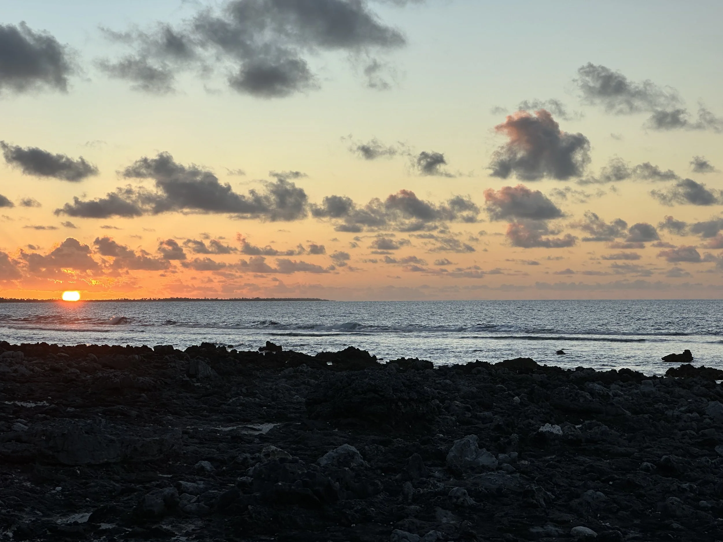
Sunset from the place we had dinner
Anchorage #2 (and also #4), along the southeastern reef area, which we’d been told about by our friends Marea and Rendt on New Life. It appears for all intents and purposes to be an island to rival Gilligan’s, complete with a concrete shelter, cistern, toilet, and shower. Plus a few BBQ barrels. Run by the community, it’s a popular spot for weekend day trippers. When we got there, a couple of local boats were anchored just off the shore, with all the passengers engaged in whatever blissfully perfect weekend activity they could think of. Sun bathing, spearfishing, snorkeling, wandering along the coral rubble beach. By 3:30 they’d packed up all their stuff (minus a pair of fins someone left vertically in the water about 4 feet offshore . . . we rescued them and put them inside the shelter) and headed back to wherever they came from.
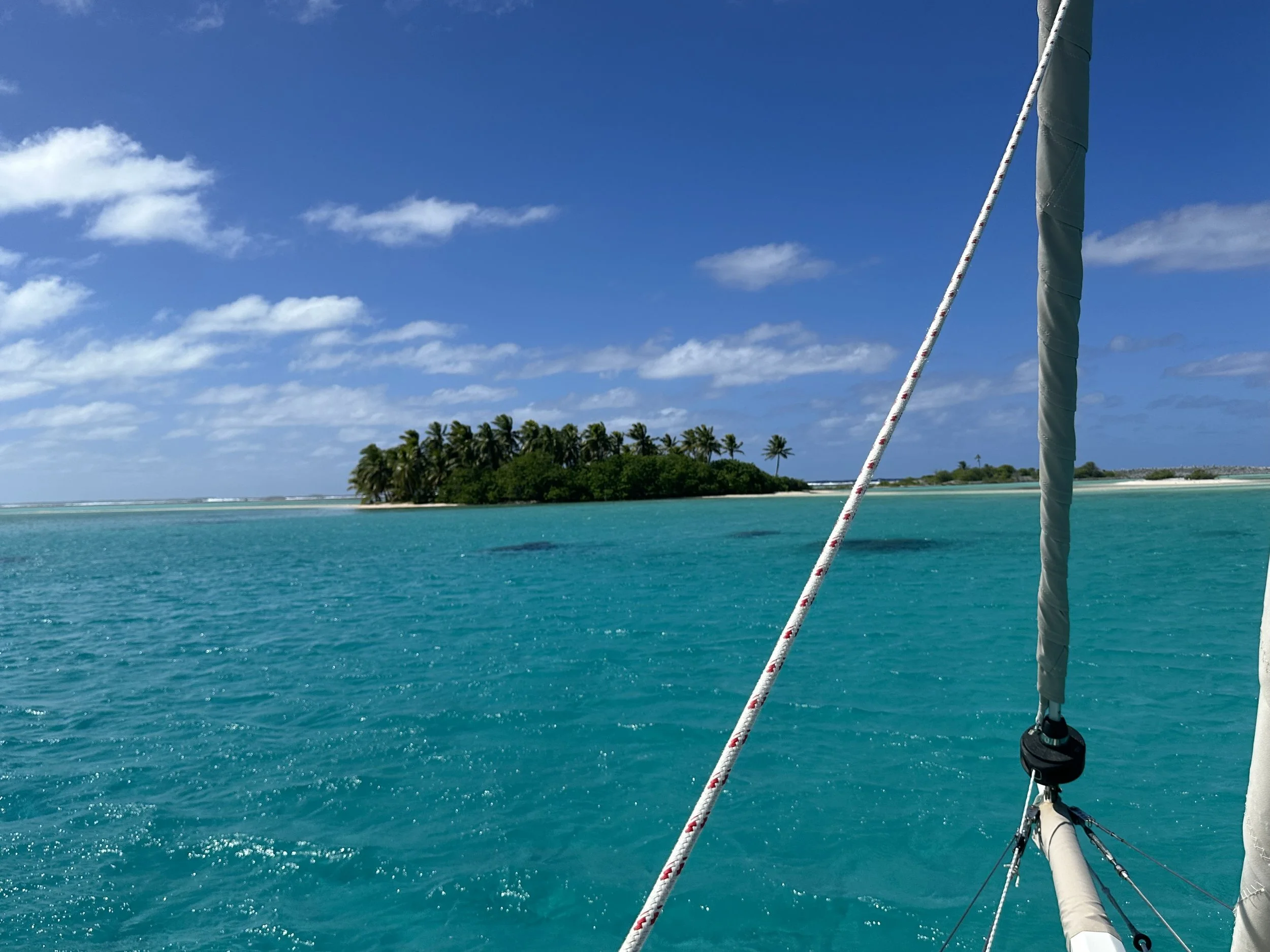
Gilligan’s Island, sort of
In the morning, chased off by incoming weather, we picked up the anchor to go to anchorage #3 where we spent the most time; it’s also where there were the most boats (7 total) sharing the (abundant) space. The eastern end of Makemo reminds us of the Bahamas, with wide swaths of sandy bottom with 10-20 feet. We found space in 10 feet of depth with plenty of clear room for a full 360 degree turn if needed. This anchorage is near a couple of copra groves and was the first truly active copra production we found. Jeremy met one couple, Gabriel and Lorenza, who asked if we’d mind charging their cell phones since they needed to contact someone in town to arrange a boat to pick up the product they had ready, and we think also to take them back to town, where they have a house and live when they’re not actively working the copra. On one of Jeremy’s visits, he got a ride on their little 4x4 along the copra highway, a newly constructed road of crushed coral rubble that runs, presumably, all the way to town.
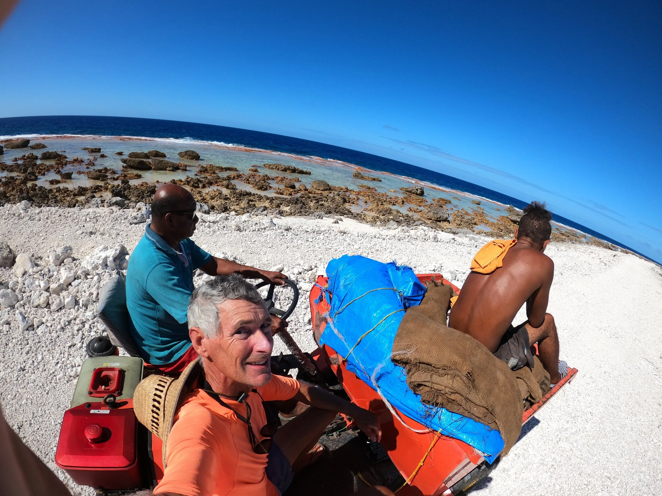
Riding the Copra Highway
On July 30, we woke up to a flurry of worried texts from friends and family. Are you okay? Apparently there had been a tsunami warning for French Polynesia that we’d had no idea about. Boats in the Marquesas were required to leave the anchorages and go to deep water. Luckily, no damage, and luckily nothing happened where we were. Our friends on Sailing Totem, cruising coaches currently in Japan, put together a fabulous zoom call with all kinds of great tsunami resources. They’ve made it available for all!
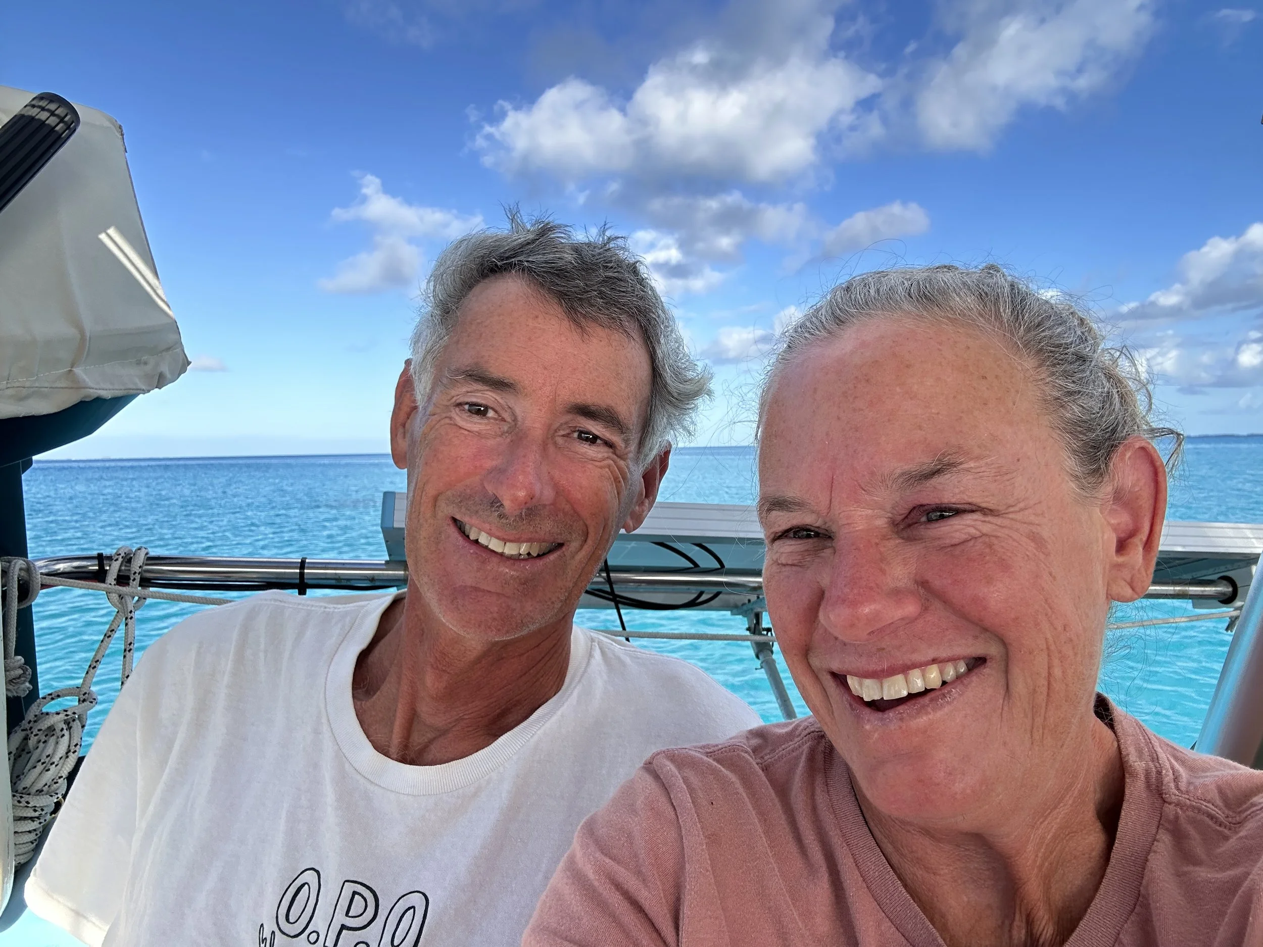
Early morning proof of life photo for worried friends and family
Anchorage #4 - back to the Gilligan’s island site for one night, looking for a change of scenery as well as a chance to exercise the sails.
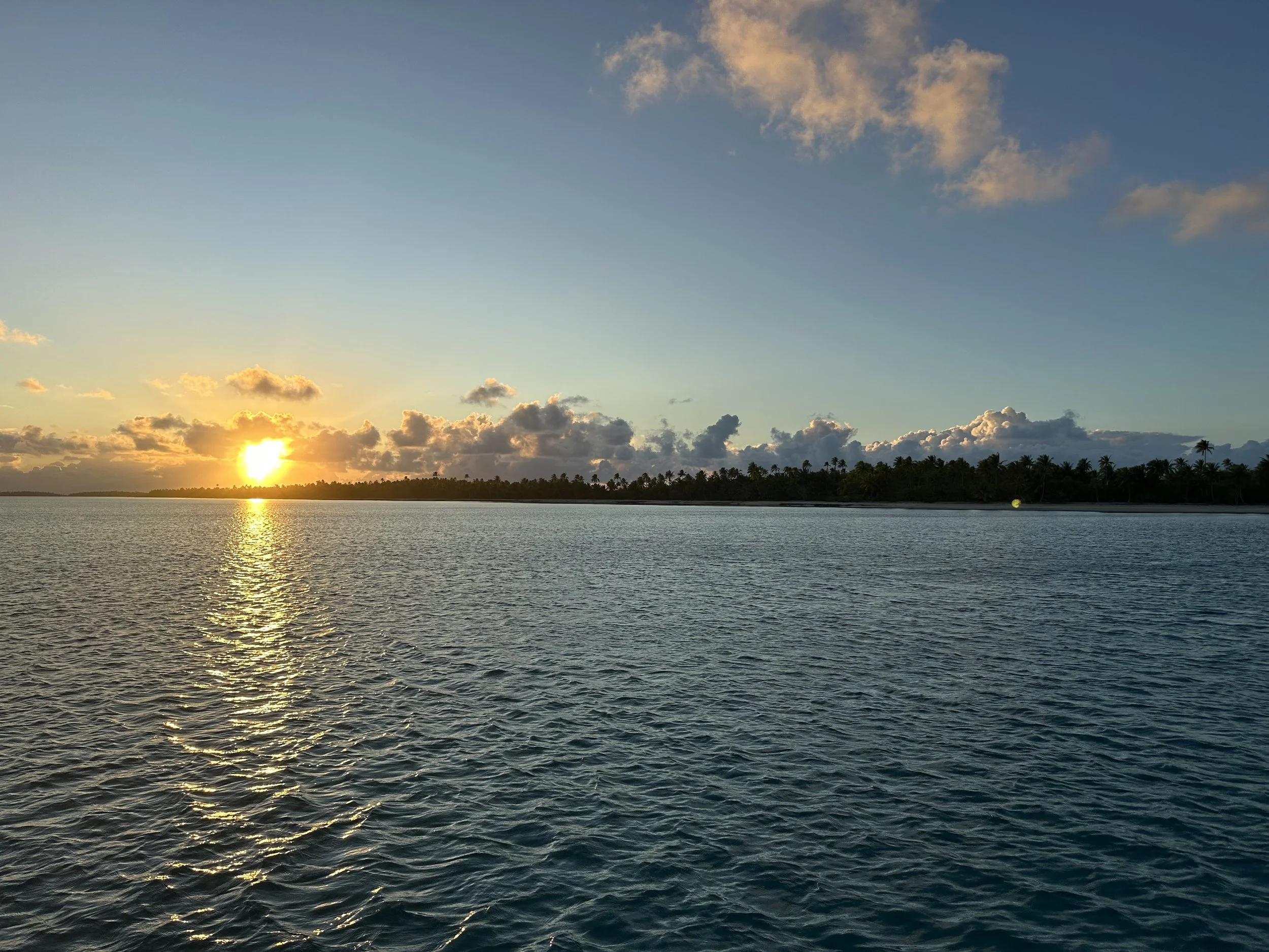
Sunset . . .
Promptly the next morning, we sailed to town and anchored (#5) in almost exactly the same spot we’d been originally. Our mission was to get to the stores before they closed for the 3-4 hour lunch break and get moving again. Mission accomplished! By 11:30 we’d picked up the anchor and set our sails for an anchorage off of the site of the old village, about 15 miles further west.
Anchorage #6: Almost directly opposite a copra shelter, this anchorage was reasonably sheltered from east sector winds by a large sandbank extending out from the shore. The ruins of the original village ranged from the old graveyard (one very legible stone read 1907-1927) at the east end to thick concrete walls of a small structure at the western side. We spent some time the next morning talking with Lukey and David, 2 guys who were there working copra. They keep an immaculate grove, stacking the spent coconut husks into methodical walls that snake around the space.
Sunset in lieu of any photos of the copra piles. Camera battery died :(
We’d realized that incoming weather, especially the swell forecast, would pin us down where we happened to be for a few days, and we decided it was time to head to Katiu. Timing of this next passage was especially important between leaving Makemo and sailing the 30 miles to Katiu, and it all hinged on getting out the pass in Makemo as early as possible. The western pass has no decent anchorage nearby as shown by satellite imagery and affirmed by some reviews of people who had tried. Too deep, too unsheltered, too bommie-strewn. Anchorage #6 was a good 10 miles from the pass, 2 hours that needed to be done after the sun was up. Some careful look at the chart and the satellite images we had showed a good spot that was only 4 miles from the pass. Off we went!
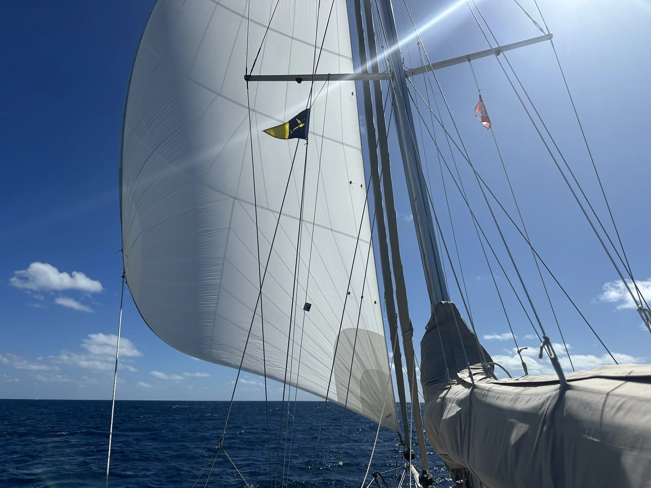
Such lovely sailing inside the lagoon!
Anchorage #7 was a lovely find. No floats needed, flat calm, and an easy spot to prep the boat and the dinghy for an outside run.
We were in Makemo for 10 days. Checked out a few spots. Restocked. Saw some active copra farming. Talked to a few of the people who live there with promises of returning after Christmas.
At first light on August 4, we pulled the anchor and headed to the pass. Our first real pass-navigating test was about to be at hand when we got to the seldom-visited atoll of Katiu!
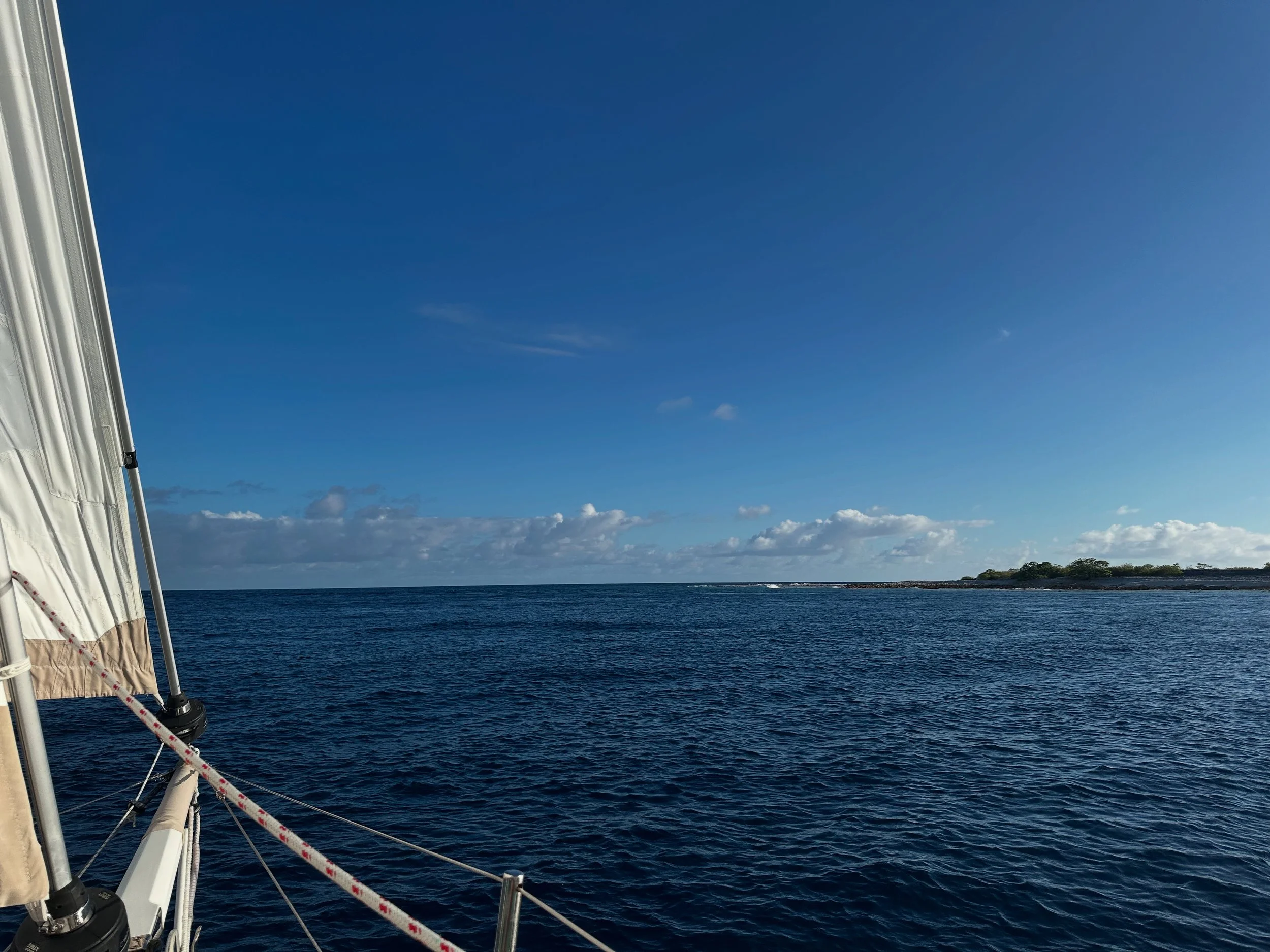
Exiting Pass Tapuhiria, bound for Katiu