Raroia (Atoll number 3!)

Map from ontheworldmap.com
We spent almost 4 weeks at our 3rd atoll, bookended by seeing friends who had sailed down from the Marquesas. All in all, we anchored in 7 different places (3 of these in largely the same area). Here’s the tour!
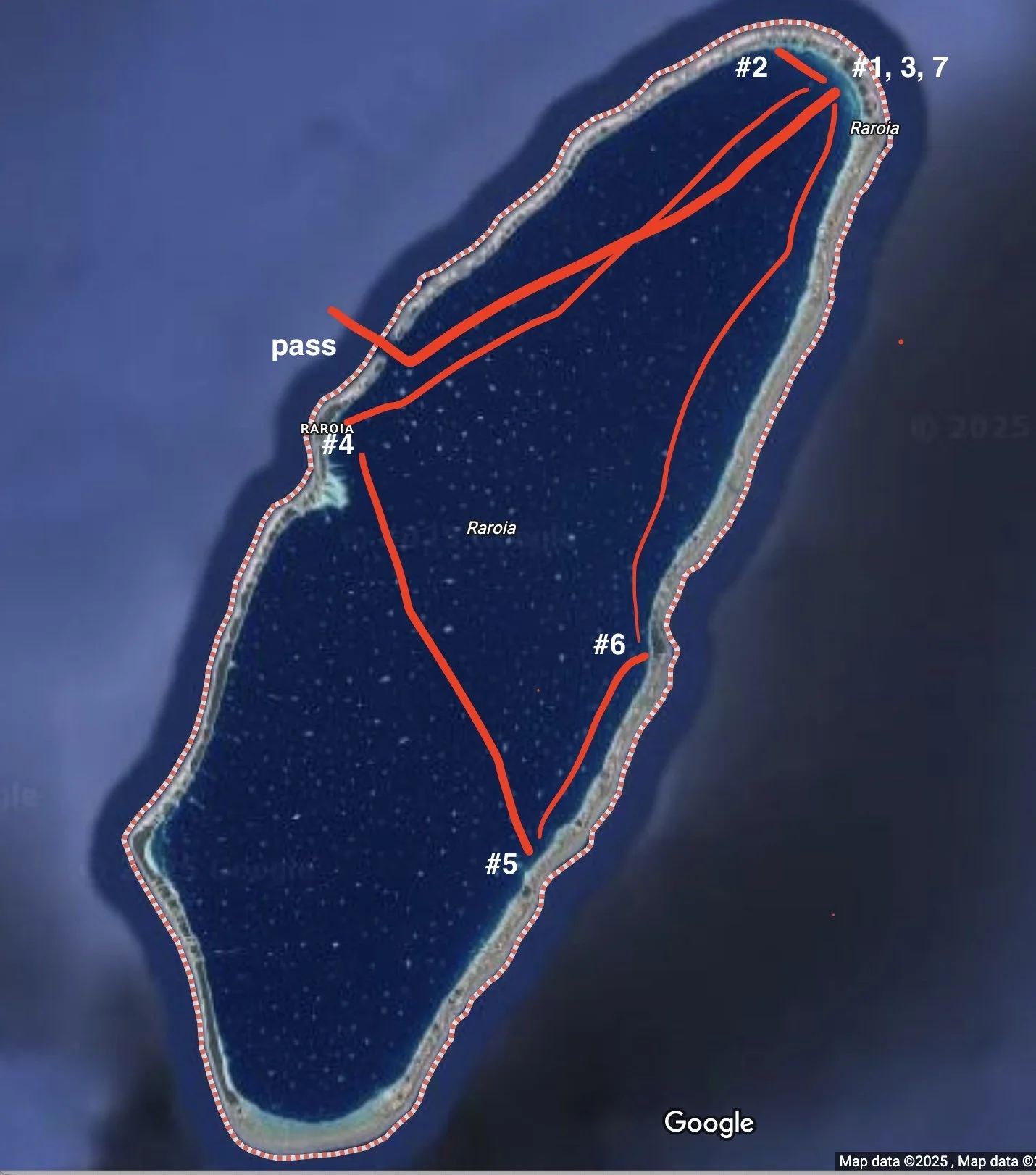
Rough guide to our anchorages in Raroia
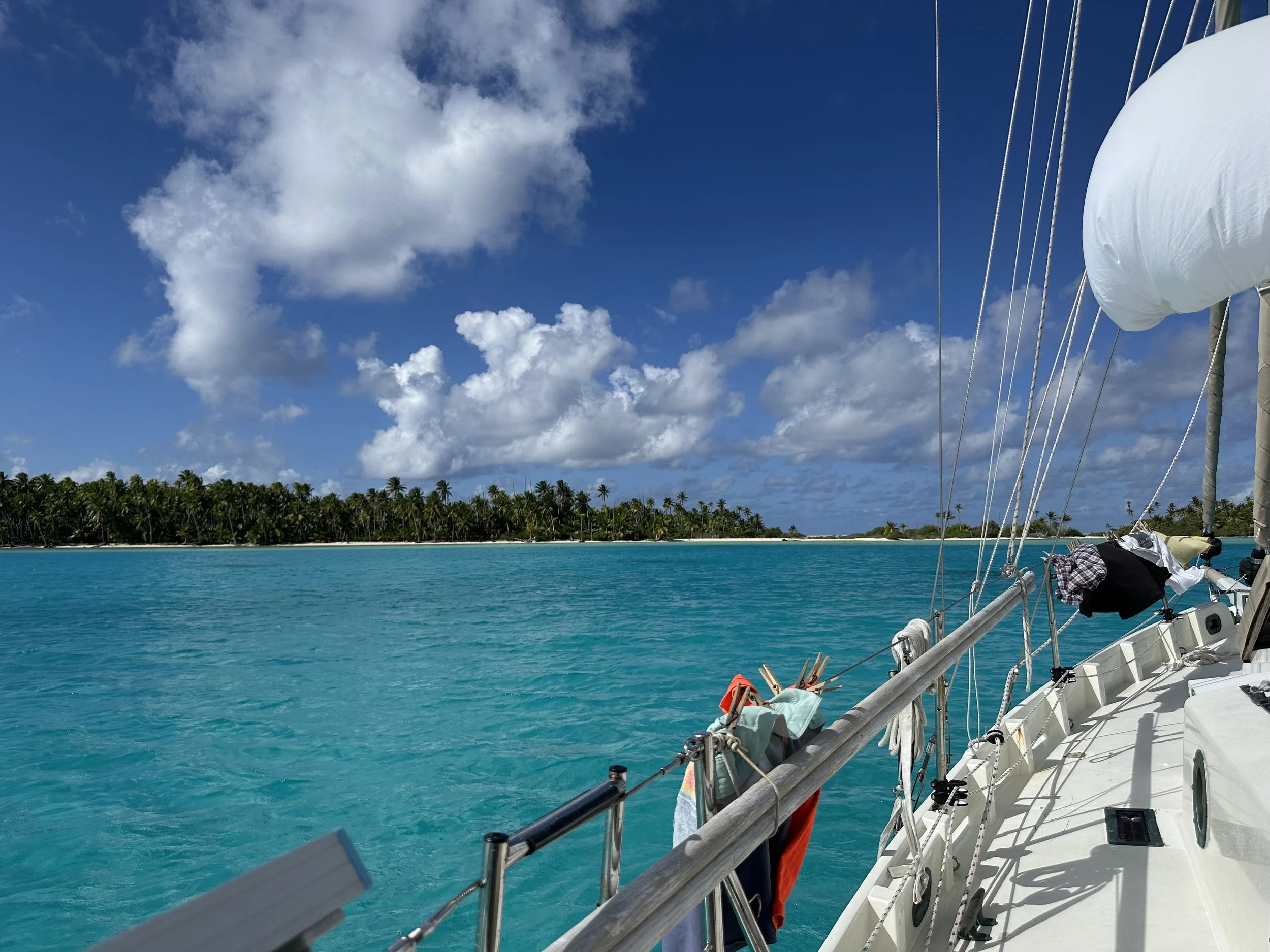
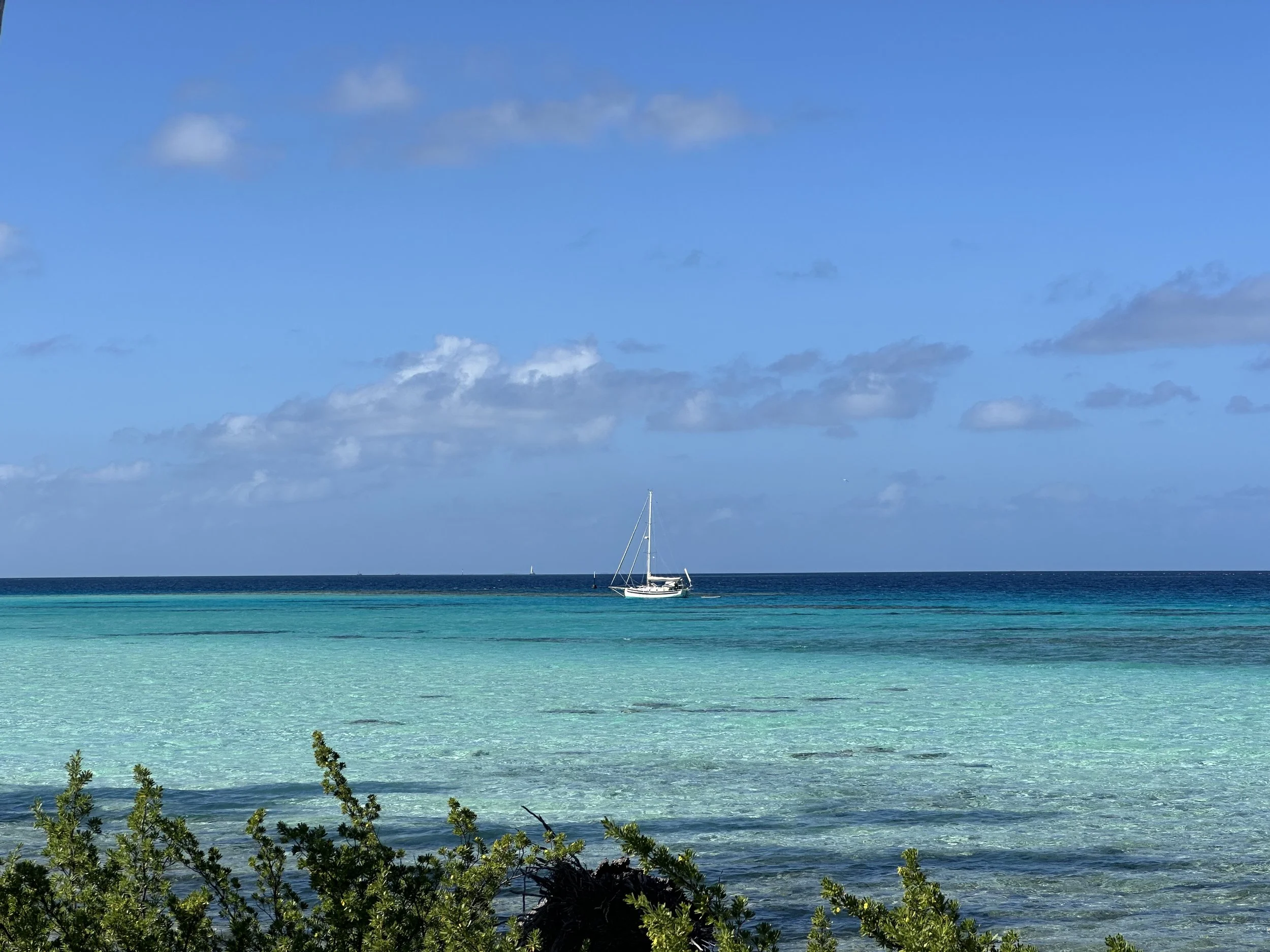
The pass at Raroia, like so many, can really rip with current, so timing is important. So far, we haven’t exactly been great with that aspect of our Tuamotus cruising . . . Our passage from Hao was faster than we expected and we arrived at what we figured was probably close to maximum ebb (meaning maximum flow AGAINST us). After sailing past the pass to see what kind of wave action there was, we decided to try it - if there was too much current to make progress, we’d just get flushed back out to sea and we’d try again later. Either that or sail around for a few hours biding our time . . . Long story short? We made it. There were times where we saw our speed drop to zero (Jeremy swears he saw us going backwards) but we inched forward in what we figure was a 6 knot counter. Success!
Going in the pass at Raroia.
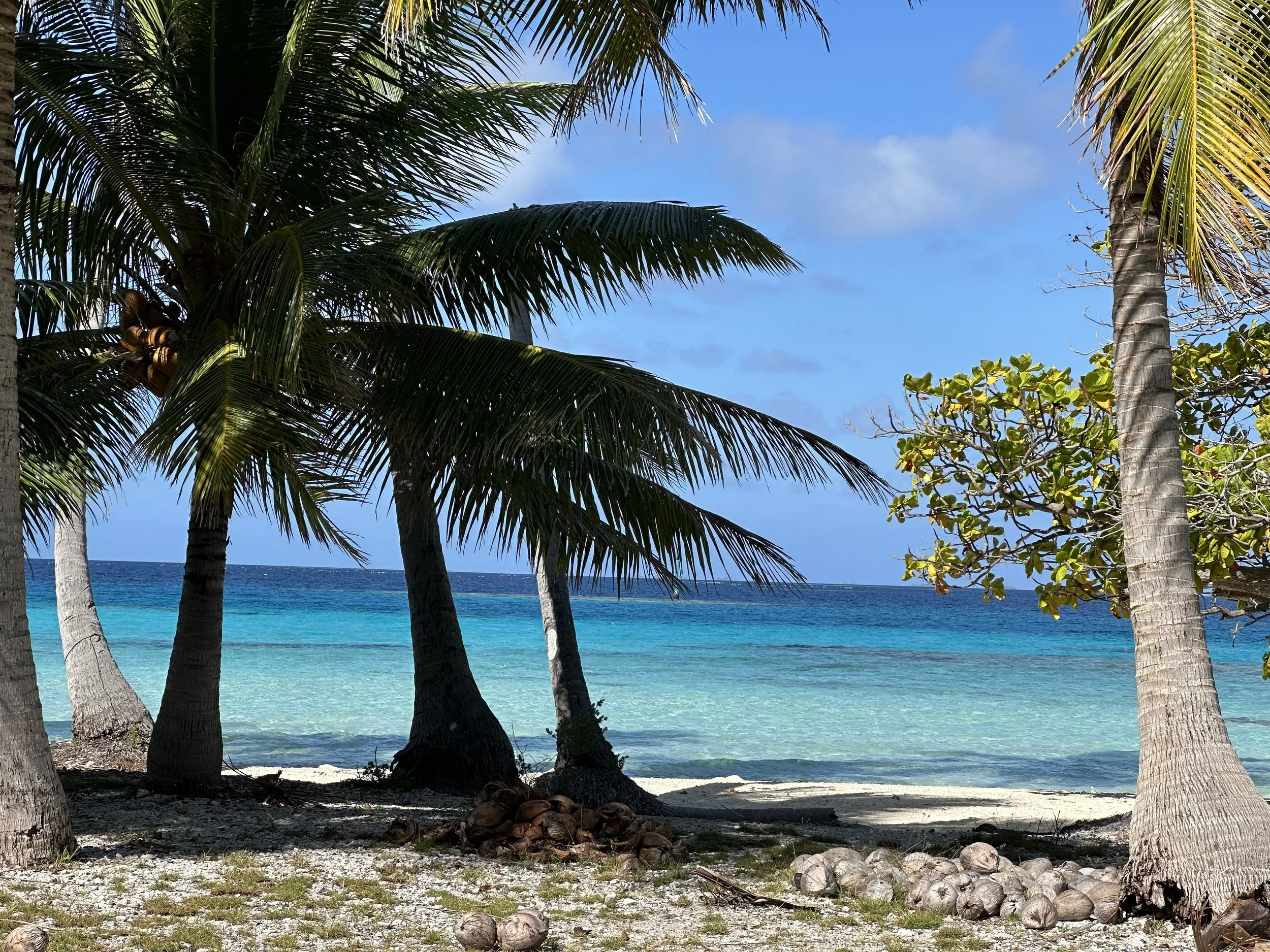
Anchorage #1 (and 3, and 7) was at the northern end, at what’s considered to be the “Twin Palms Yacht Club” spot. When we first arrived, there were 15 other boats all clustered near each other closer to the corner; we situated ourselves farther west in a good sandy spot and enjoyed some time with our buddies on Vision who we first met in George Town, Bahamas, last November. This was a good anchorage with incredible shallow water exploration (lots of sharks, clams, and octopi) for both paddle boarding and kayaking. Jeremy set up the foil board and had some great runs. This is probably the best protection in the atoll, in our opinion.
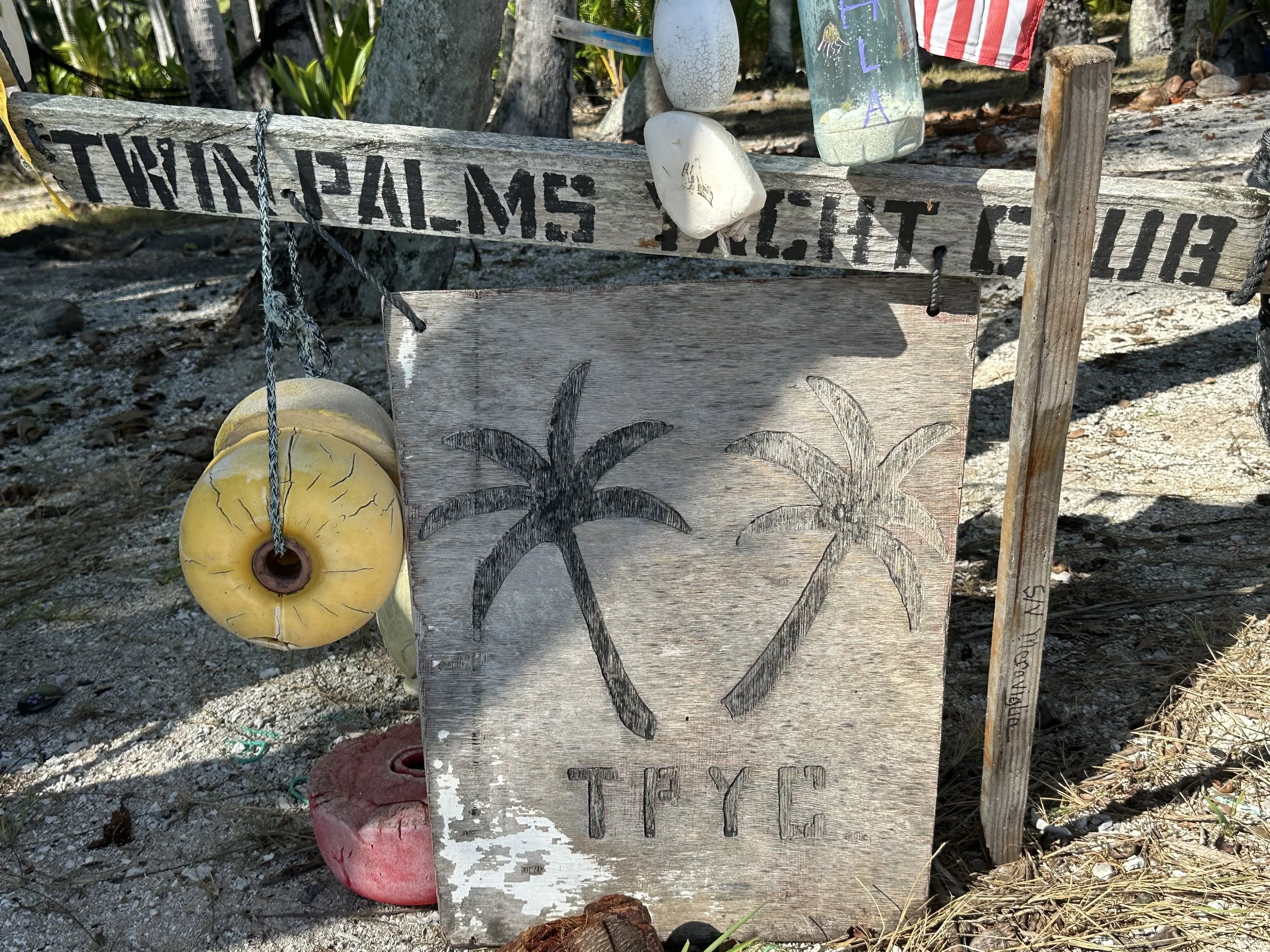
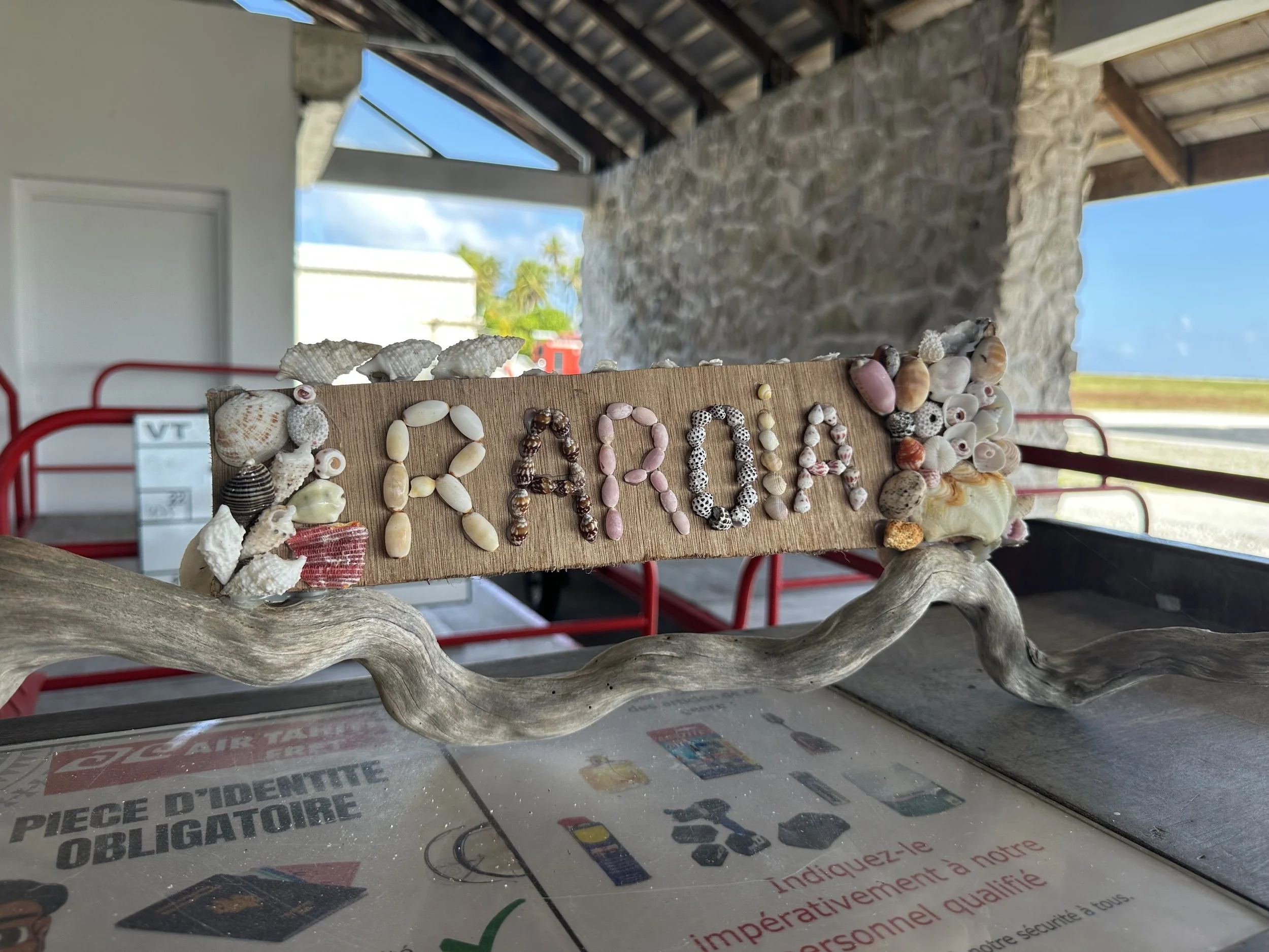
Twin Palms Yacht Club sign
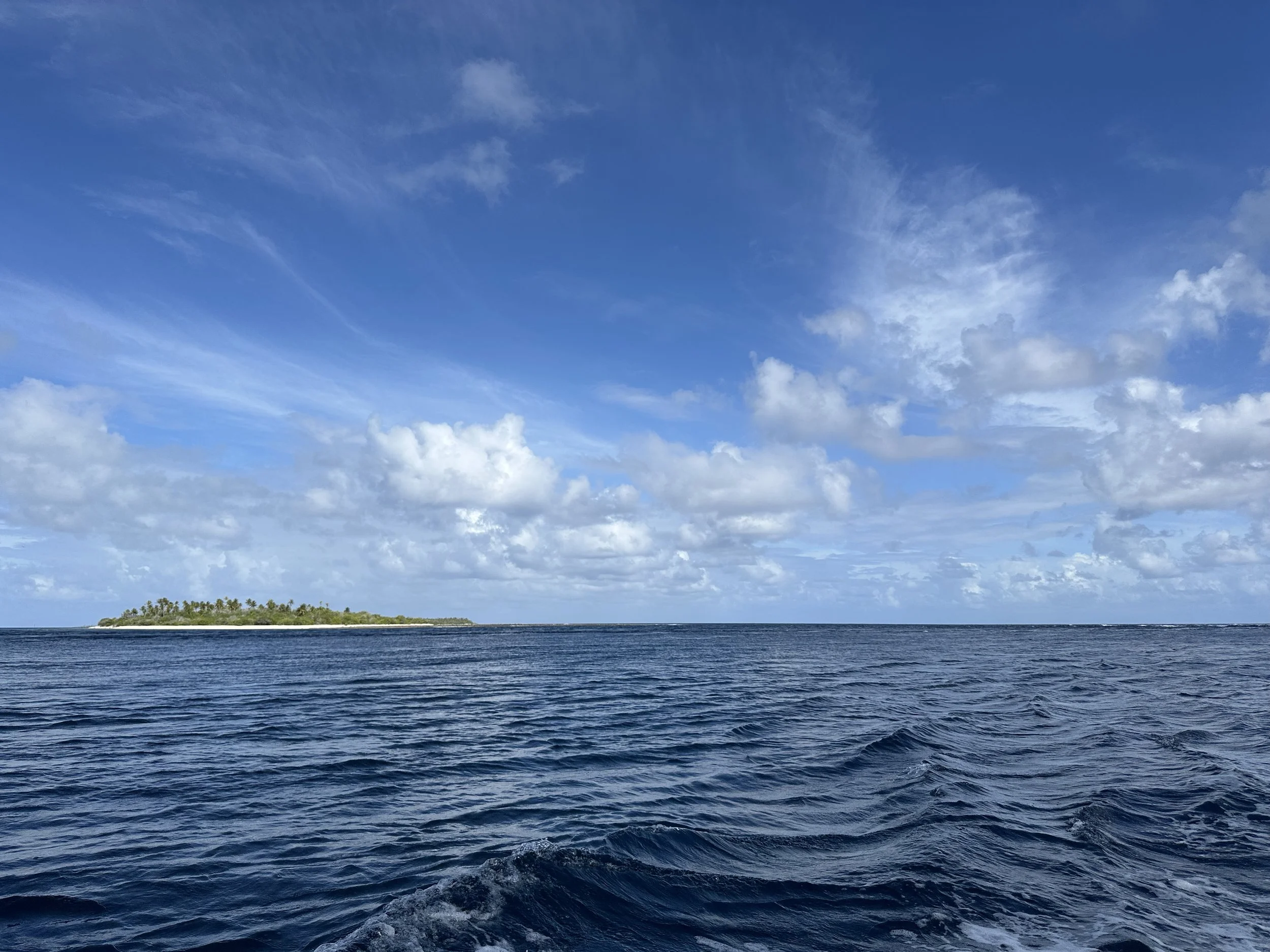
Rough scenery
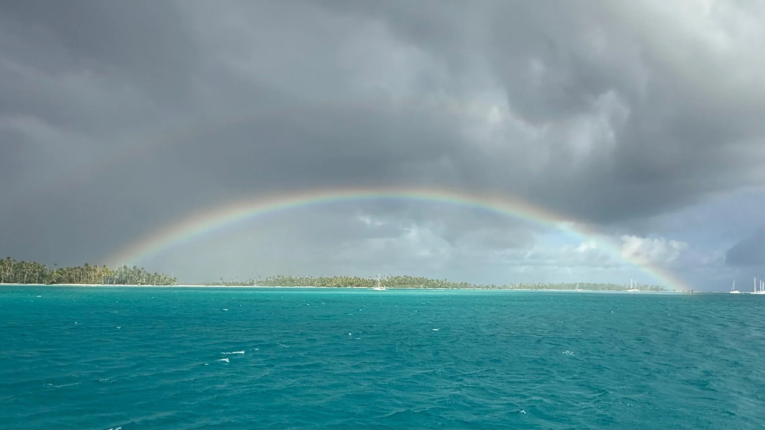
Vision took this sweet shot of Calypso under the rainbow
Anchorage #2 was just a couple of miles to the west, where we headed to see friends on Maloya and FINALLY get a chance to hang out. They came for pizza dinner one evening. Then we went back to the “yacht club” (#3) for a more easterly wind event.
Spot #4. When the wind died, it was time to check out the town anchorage. Garumoa is the village for the atoll, sited as seems to be the case right near the pass (which is also on the leeward side of the atoll.) It’s not a great anchorage in terms of coral head density, and there are a few pearl floats that are suspended maybe 4 feet below the surface. Not a place to try to get organized in the dark. We anchored in a sandy spot just big enough for us and knew we’d leave in the morning.
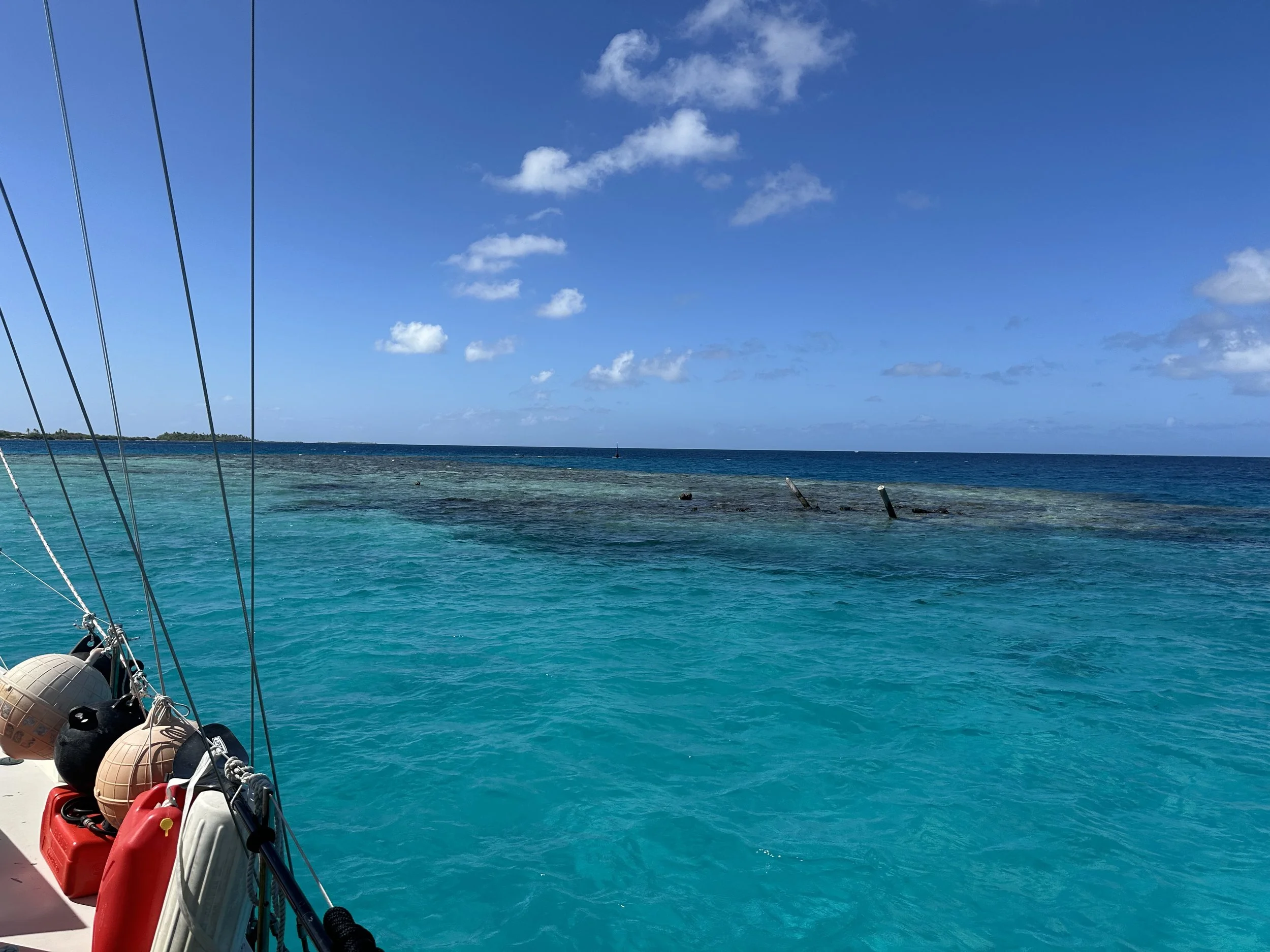
Nuzzled up to a coral head off of Garumoa
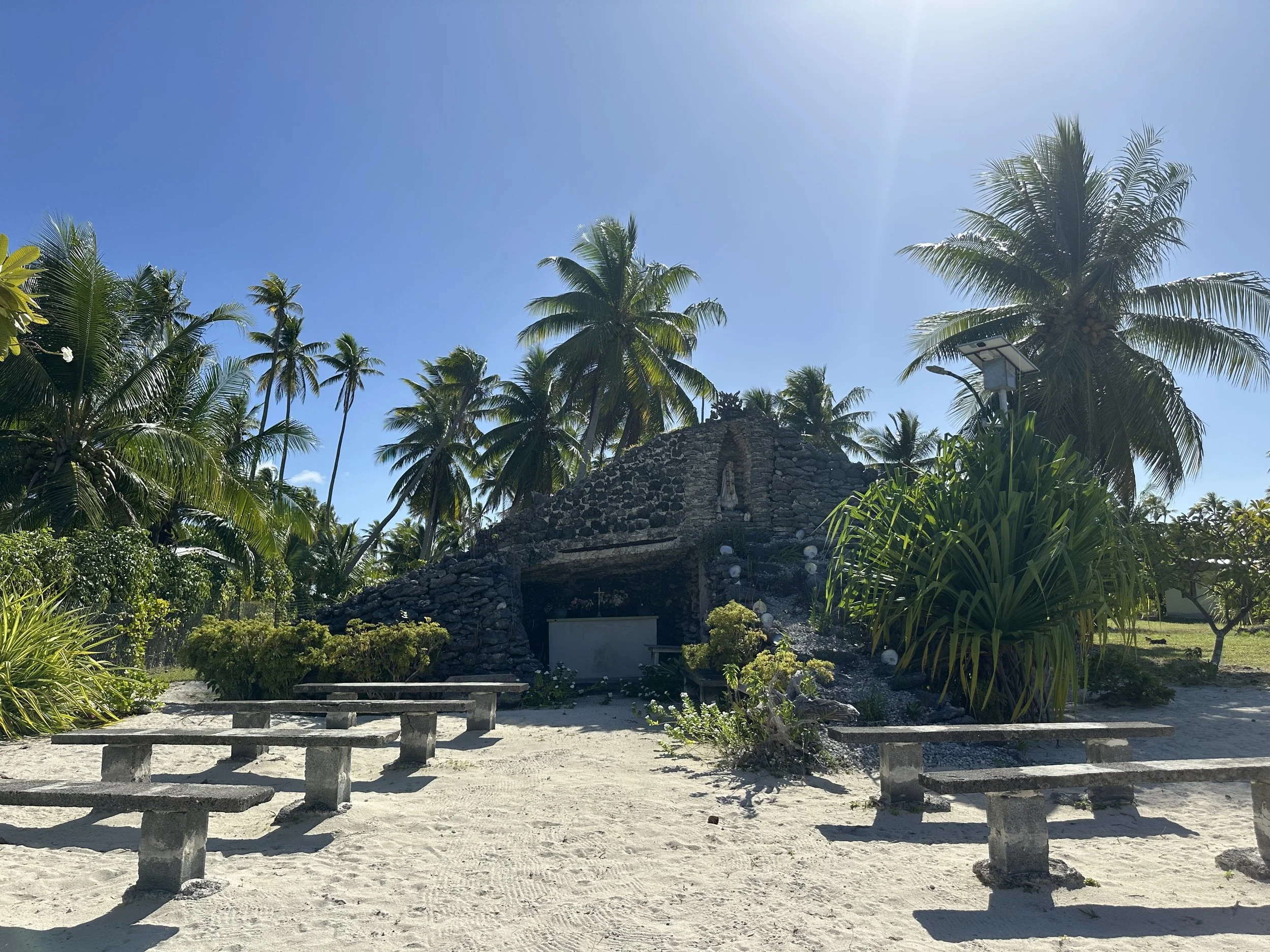
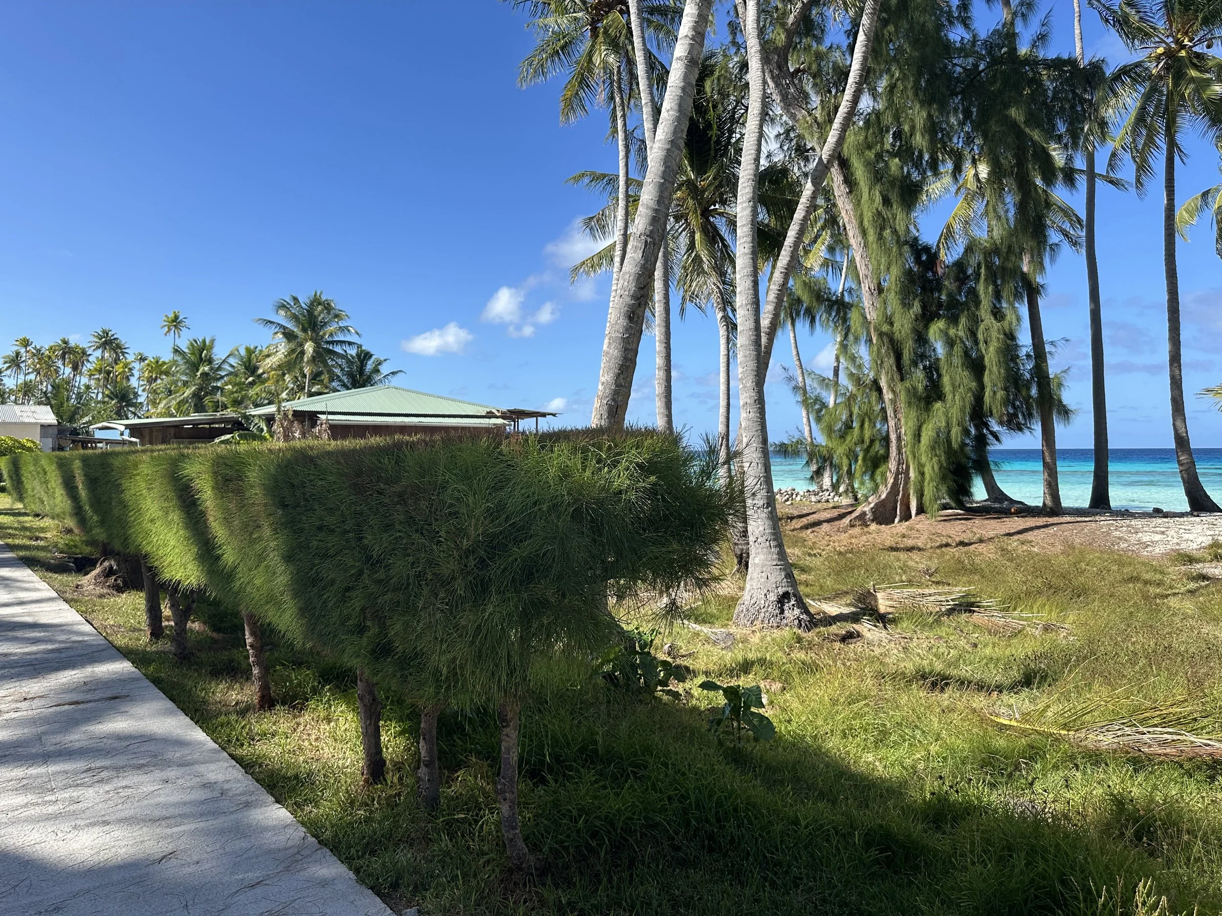
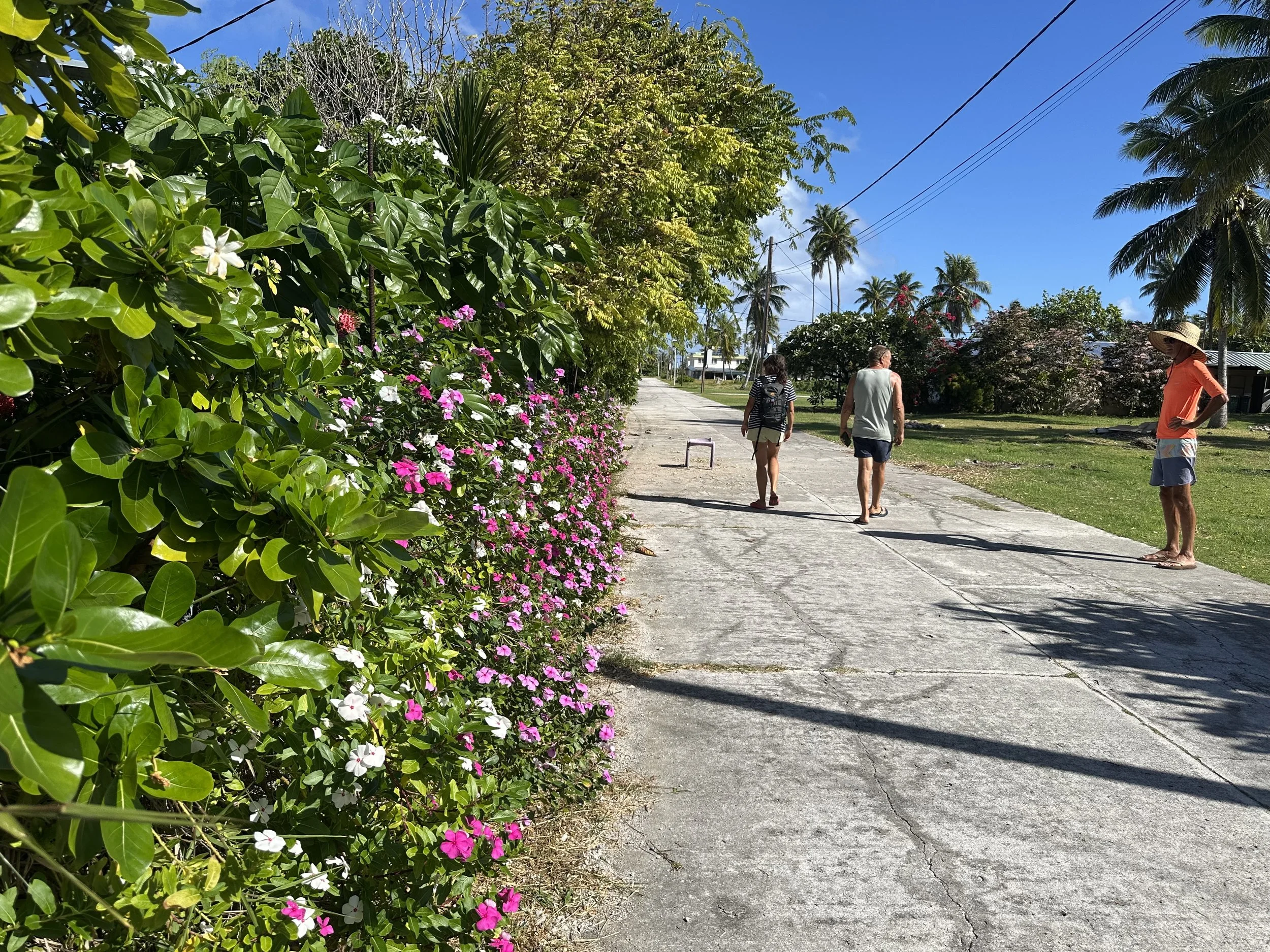
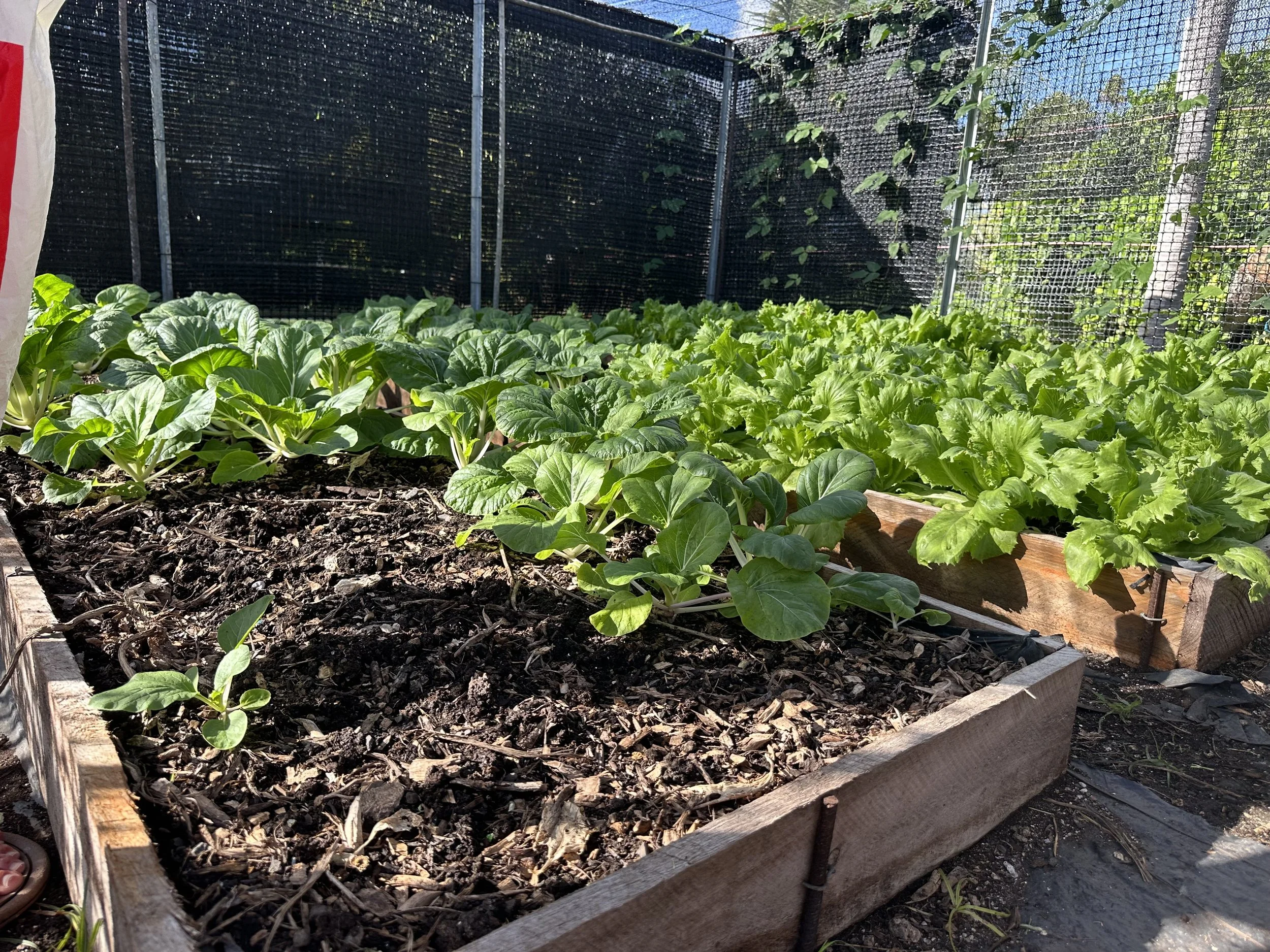
Each town we’ve visited so far in the Tuamotus has some real differences. Here there seems to be better soil in general based on the density of different kinds of vegetation. Frangipani grows with abandon, perfuming the air with floral intensity. In contrast with Otepa, on Hao, where almost every house was guarded by a fence constructed by vertical corrugated roofing material, Garumoa’s properties are largely open. The only fencing is around gardens, which were far more numerous than we saw on Hao. There’s a small store servicing the population of 80, and an impressively elaborate garden that was started by the former school teacher as a way to ensure the people on the atoll have reliable access to affordable vegetables. We suspect he bankrolled the project himself, shipping in soil from Tahiti.

Spot #5. From town we headed east to the other side of the lagoon. Our first stop was just south of an abandoned pearl farm which was easily the most sharky anchorage we’ve been in so far. I had the best time watching the sharks from the boat as they cruised in the shallow waters just off the bow.
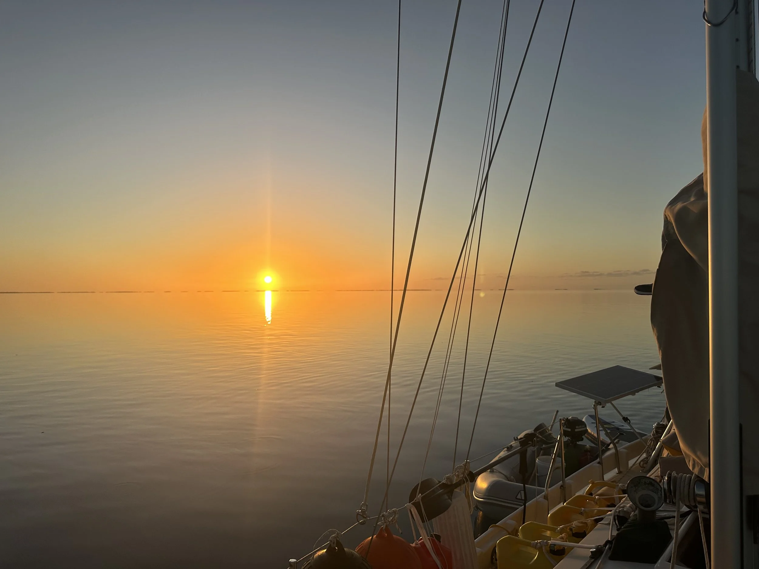
Sunset from our anchorage
Spot #6. Then it was a few miles north, to an anchorage right near the motu where Thor Heyerdahl’s Kon-Tiki raft came ashore. We took the dinghy to the small, brush-and-tern-guano-covered island and braved the dive-bombing birds to find the marker commemorating the landing. I’m glad we found it but have no need to go back again.
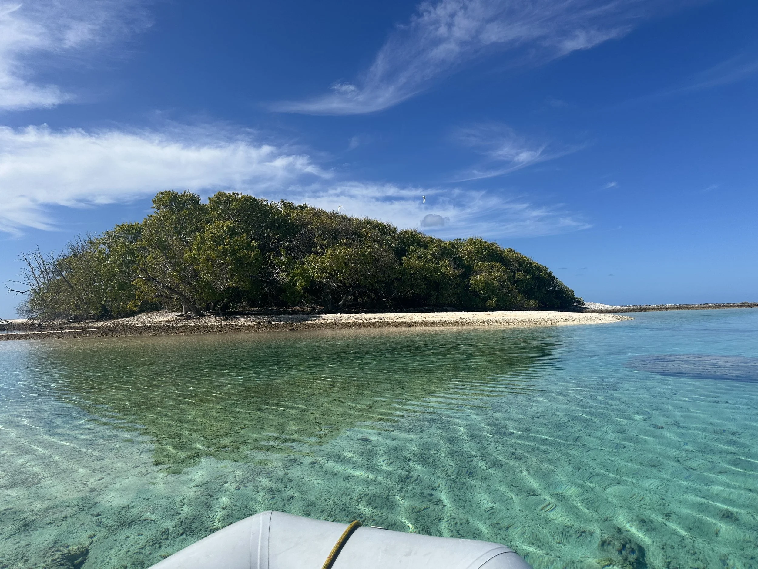
Approaching the motu where Heyerdahl made landfall (they landed on the other side)
I have to admit, it is a little wild to be seeing places I’ve only read about in history books. And while Heyerdahl’s theory about where the Polynesians originated from has been disproved by modern DNA testing, the fact remains that he and his crew “sailed” an open raft from the coast of South America to Raroia using mostly ocean currents to make the journey. Nobody died or killed each other on the 100 day voyage. That’s pretty impressive!
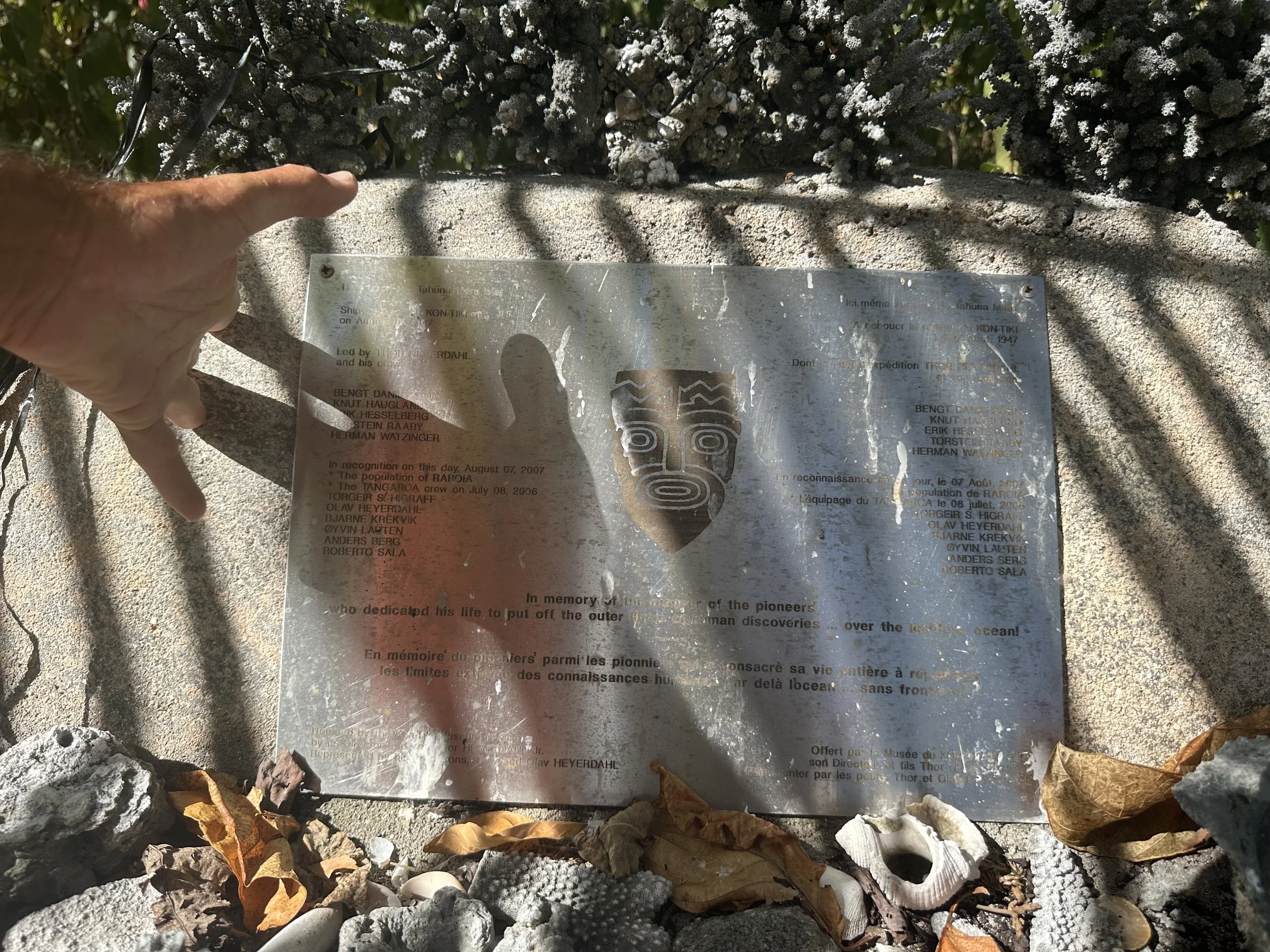
Commemorative marker . . .
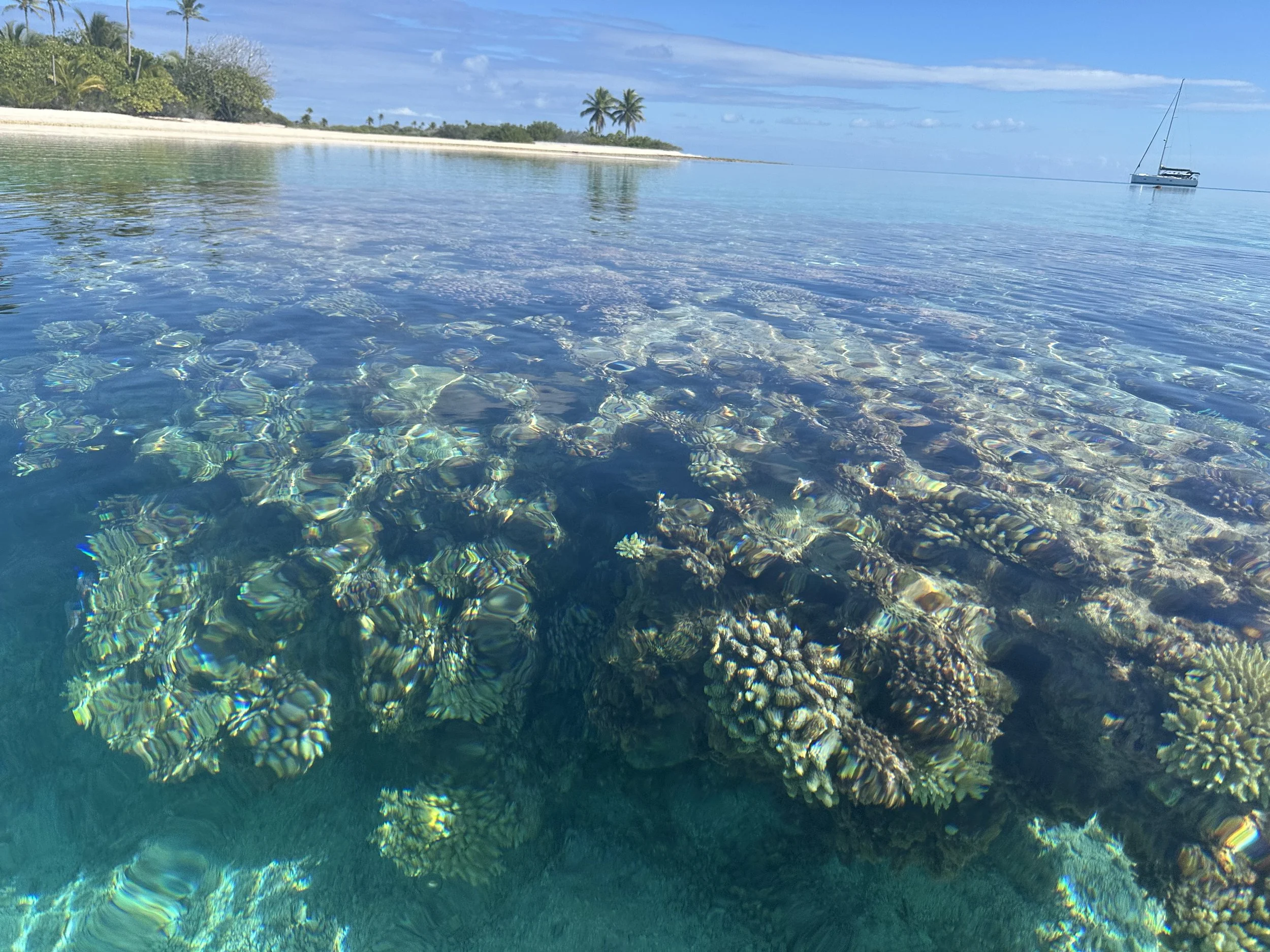
Some underwater scenery
Spot #7. When the wind shifted in the morning, making the anchorage less than comfortable, we headed back to the yacht club spot to wait for friends to arrive from the Marquesas. In Cahoots, a Balance catamaran that had been our slip neighbors in Shelter Bay, had fresh veggies (and chick peas!) from Nuku Hiva for us; Queen’s Dream, a catamaran we’d first seen in Shelter Bay but first met in Las Perlas, had graciously carried some mail order boat parts from the US.
Dinghy on the beach by the “yacht club”
It was this time in the same general anchorage area that we saw the octopi. Jeremy first spotted one on a rock near the shore in the vicinity of the yacht club, and when I went back in the afternoon on the paddleboard I could see 2 of them. They looked like they were holding hands . . . turns out they were mating. Male octopus have special sperm delivery apparatus in the end of one of the tentacles, which they insert into the gill pocket of the female. Incredible.
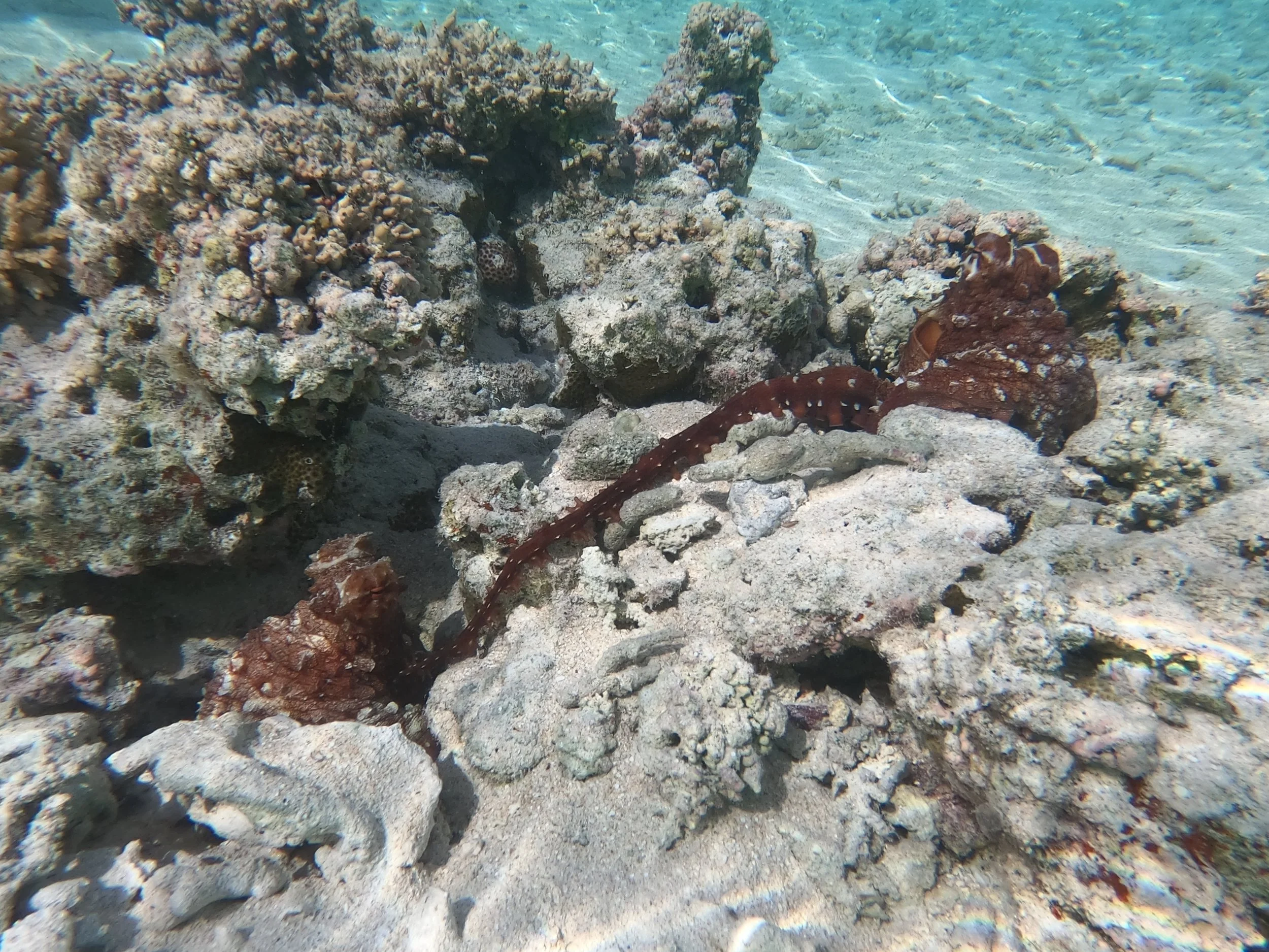
Red splotches? Octopi!!!
After a lot of octopus viewing, socializing, boat projects, and gratefully relieving our friends of the goodies they’d brought for us, it was finally time to head out to our next atoll, Makemo, one of the more populated of the atolls and another different experience.
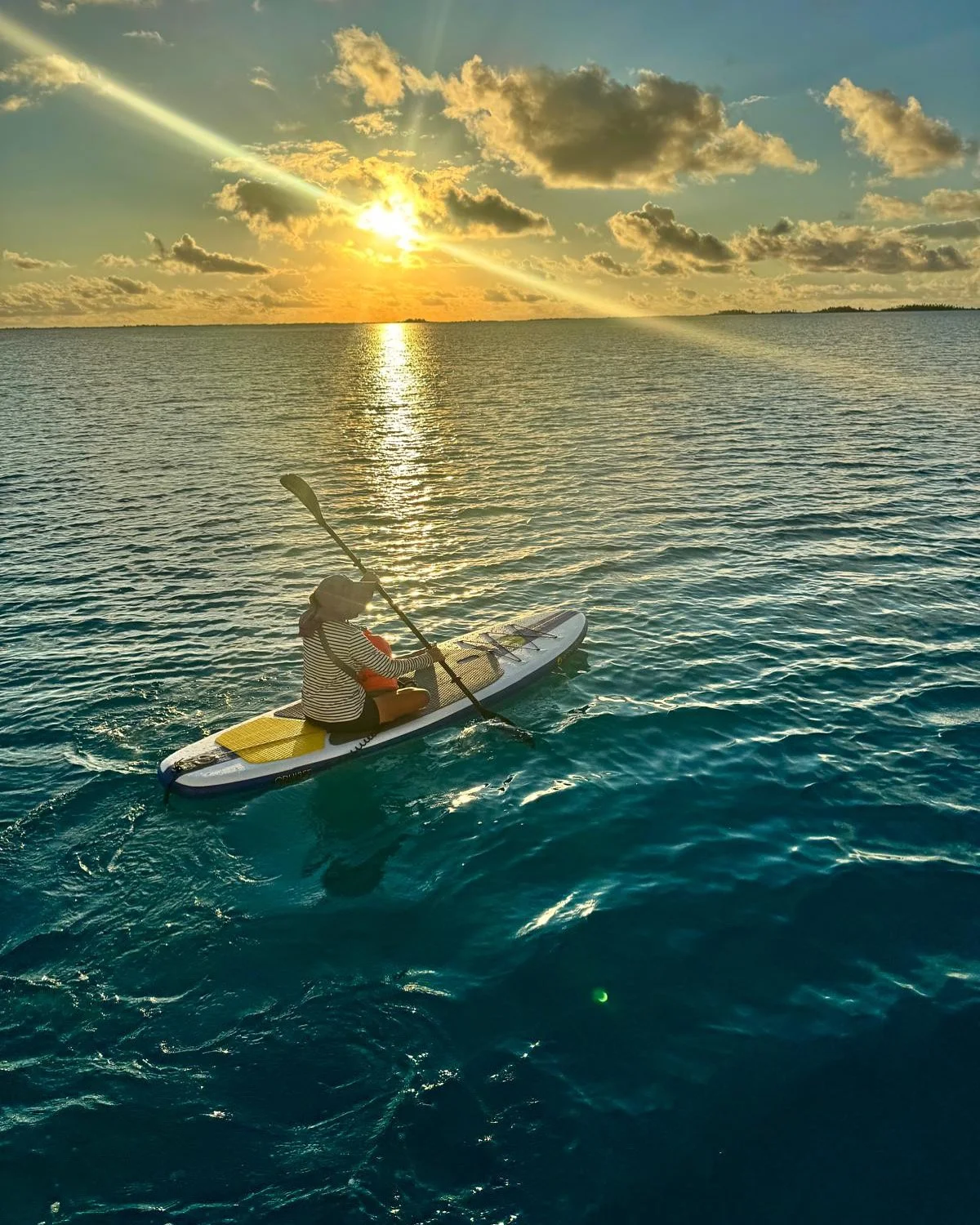
Heading back to Calypso at sunset. Photo courtesy Tim on Queens Dream!