Welcome to Amanu!

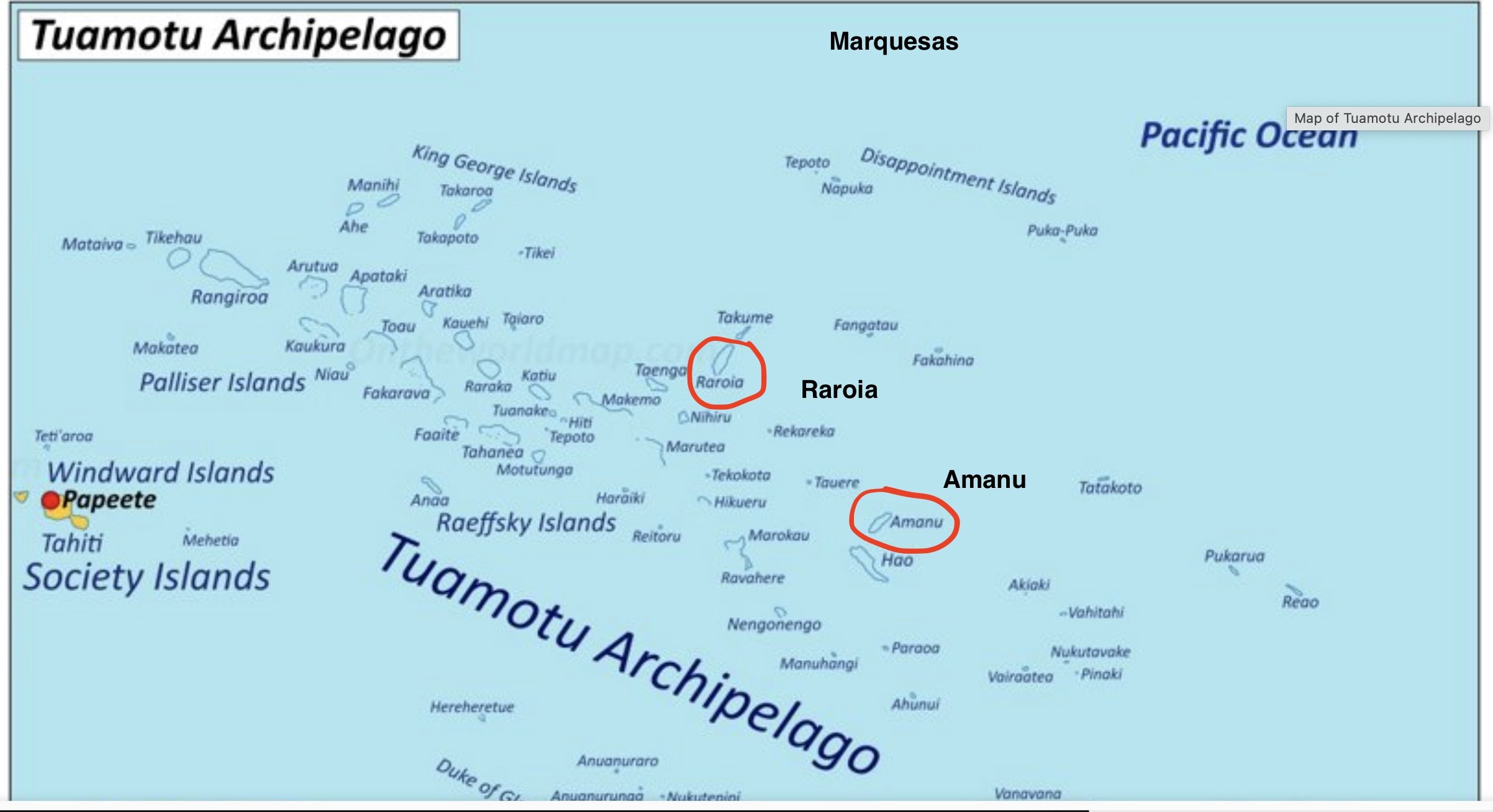
map from ontheworldmap.com
First, some geography as best as I understand it. Any corrections are welcome!
The Tuamotus are one of the island groups that make up French Polynesia. These “islands” are almost all atolls, low-lying rings that look from on high to be made of sand and trees. Gone are the high lush peaks of the Marquesas. Here, for cruisers, the emphasis, after meeting and learning about the local population, is on water exploration.
According to National Geographic, an atoll is a ring-shaped coral reef, island, or series of islets. An atoll surrounds a body of water called a lagoon. Sometimes, atolls and lagoons protect a central island. Channels between islets connect a lagoon to the open ocean or sea. Atolls develop with underwater volcanoes, called seamounts. (From me: the islets are called “motus” here.)
Of the hundreds of these atolls that make up the Tuamotus, about 20 have passes that are navigable; maybe 12 are inhabited. 5 are frequently visited by cruisers. 3 are completely off-limits, the result of extensive nuclear testing in the 1960s.
Many cruisers coming from the Marquesas make a beeline straight to Raroia, probably because it’s the closest one. We opted instead to spent an extra night or so at sea and went to Amanu. Not on the cruiser highway at all. We loved it.
Map copyright ontheworldmap.com
The scale of this atoll (20 miles long, 6 miles wide) wasn’t one we appreciated until we entered the pass and started towards our first anchorage. Sure, we knew intellectually that it was about a 10 mile sail to our chosen anchorage once we got inside the lagoon; seeing it in reality opened our eyes. This ONE atoll? Could, with not much of a stretch, fill an entire cruising season. You’d have to be content with only the occasional resupply and a sparse social life. Still.
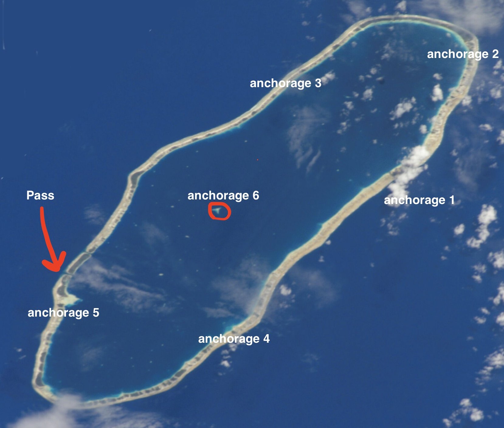
Amanu. Image in public domain from NASA
First anchorage:
We sailed across the lagoon towards an anchorage on the northeast side, aiming to get protection from the forecast winds and also to be closer to a boat we’d only talked to very briefly in Tahuata.

Lagoon-side shore walk, anchorage #1
Bliss. Flat calm, gloriously clear sand. Anchored in about 10 feet of water at a gap between motus, reasoning that we’d have better wind and fewer bugs. After the solid roll present in most of the anchorages in the Marquesas, having the boat be FLAT was almost concerning. We spent our days paddling, foiling, walking ashore, and collecting pearl farm floats to assist in more coral-strewn anchorages. Birds wheeled around - and some of the motus were obviously their nesting grounds; as we walked around, scores of boobies or frigate birds exploded from the trees. When that happened, we quickly reversed direction and didn’t go there again.
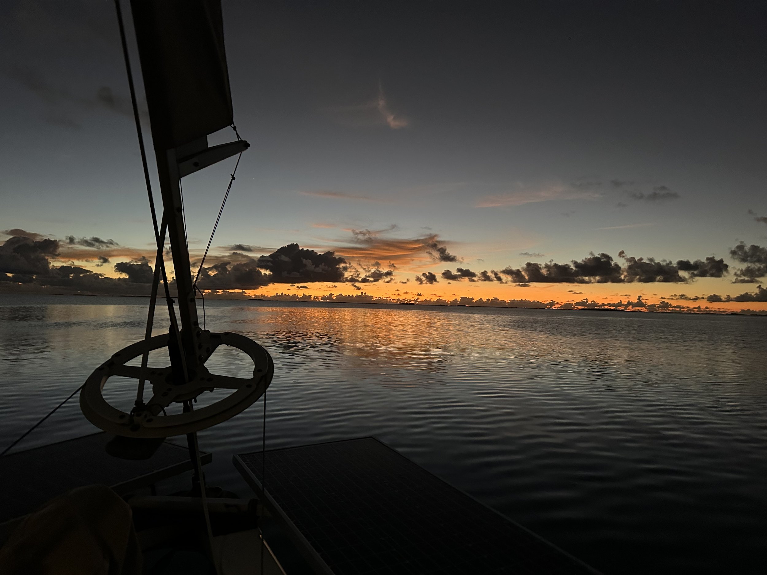
First sunset in Amanu
One thing we noticed in the atoll in general - the character of the oceanside was anything but consistent. At this first anchorage, walking over to the windward side meant picking our way carefully through acres of apocalyptic coral rubble, bleached white (or even burned black). You have to pay close attention to where you’re putting your feet! Clearly something catastrophic had occurred to bring so much coral so far in from the fringing reef. Was it a once-in-a-while thing, or did this destruction happen anytime there was a strong blow? (Sadly we forgot to get any photos at all of these oceanside shores. You’ll just have to use your imagination.)
We picked up a number of pearl floats of various sizes and kinds, filling the side deck and the dinghy with our options. When we got to anchorage #2, we finally put them to the test and decided which ones we’d keep.
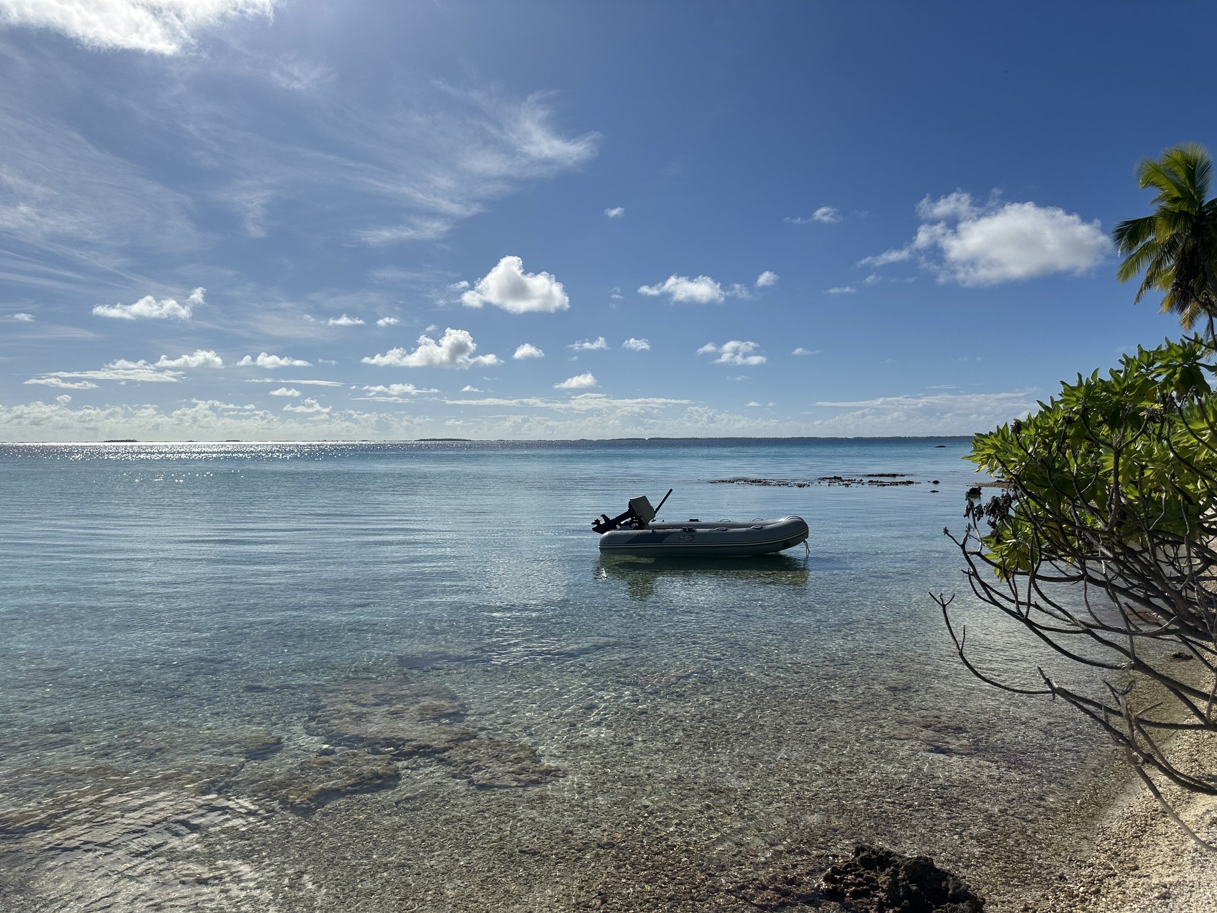
Dinghy from anchorage #1
Anchorage #2:
Further to the north, as the wind was forecast to go north, then west, then southwest, and then back to the prevailing southeast. This one was similarly shallow, clear sand. The motus up here were clearly used for copra production, as the coconut trees were planted in a geometric design visible even in satellite photos. Windward side scenery was mellower, somehow, with rocks along the water and the coral detritus in smaller, less sharp bits.
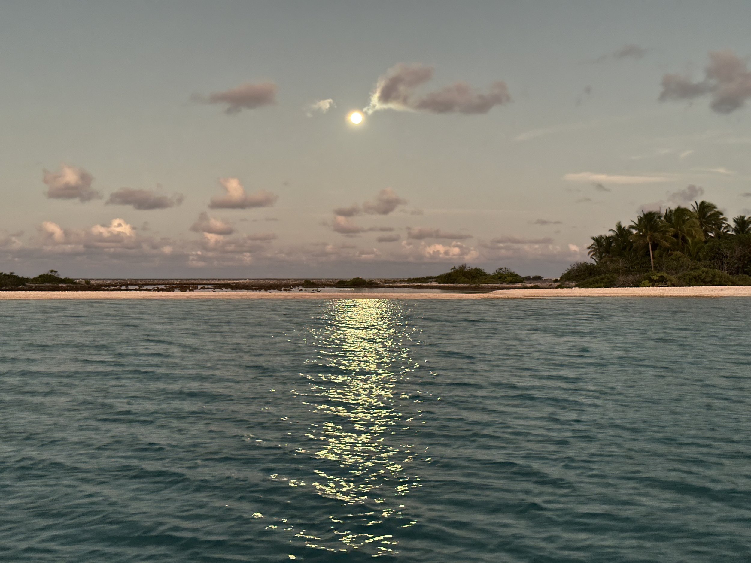
Sunset reflected in the clouds around the moonrise
Here we tested our floats. I’ll write more about this in a future blog post, but roughly speaking the idea is to keep your anchor chain above any coral heads, leaving the coral to keep living and saving your anchor gear (and possibly your boat) in the process. We’d never done this before and it was pretty cool to see it work as we’d seen it described. We identified 4 floats to keep, and then put the rest in a safe spot back ashore.
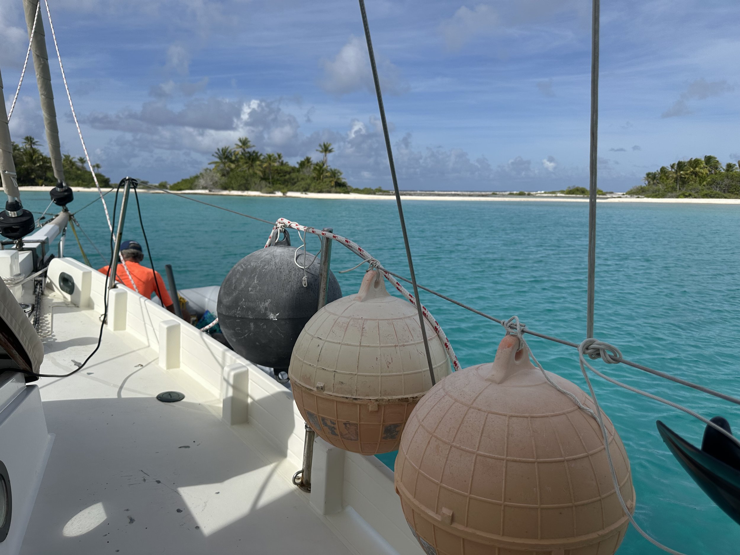
Some of the floats we tested
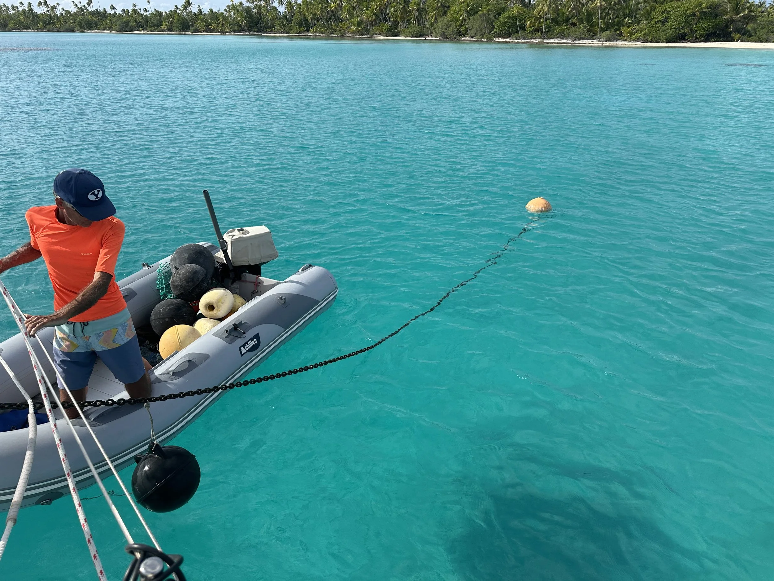
Working out the process
Anchorage #3
This was just a lunch stop, in an attempt to scour a different windward side on the quest for glass fishing floats. These are for decoration, not for intended use, and we’ve been on the hunt for them since the Bahamas in 2010. We did find a large fragment of one here, so we know they’re still around. Just hiding.

I was obsessed with the textures of these shells/coral fragments
This shoreline was more like Bahamian iron shore. Rocks, lava edges. Almost no coral rubble. Round boulders too. Astoundingly enough, almost zero plastic waste on the shoreline. This was something we noticed in every place we went - some plastic water bottles, the remnants of a few FADs, the occasional Suntory whisky bottle.
Anchorage #4
In retrospect, we’d not given ourselves enough time to get settled before the sun went down. We’ve been in French Polynesia now for over 2 months, so the fact that sunset comes closer to 5 pm than 6 should not be a surprise. We sailed all the way to the south end of the atoll, looking for protection from the wind shift that was expected to come in the middle of the night. At least it wasn’t forecast to have much force with it . . . our first chosen spot was too dicey for our tastes, and off we headed for a different one as the sun was disappearing first behind thick clouds and then below the horizon. It was in the shades of twilight that we dropped the hook in an area with more coral than we’d have preferred, and we were VERY happy we’d experimented with floating the chain . . . still, it was not a very restful night, and we were happy to reposition in a clearer spot in the morning.
This anchorage boasted a ocean shoreline that looked for all the world like ice had shoved endless mounds of flat rocks along. Again, no trash (which also meant no glass floats).
Anchorage #5
We finally had the wind to spend a couple of hours at the town of Ikitake. It’s situated right next to the pass, which is on the leeward side of the atoll, meaning that in the usual southeasterlies, it’s a bumpy spot to hang out. The light north-sector winds offered a perfect opportunity to check it out. We sailed across the lagoon and dropped the anchor in about 8 feet of clear sand, then took the dinghy to the closest shore and walked the half mile or so into town. There we met the mayor, Francois, who is also the town medic - in this town of 200 people, he can do things like deliver babies and even perform appendectomies, but for more intense medical requirements you need to go to Hao (a 40 minute speed boat ride south) or even to Tahiti. The one store on the atoll was closed by the time we’d finished speaking with Francois, and it was time to go on to our next spot.
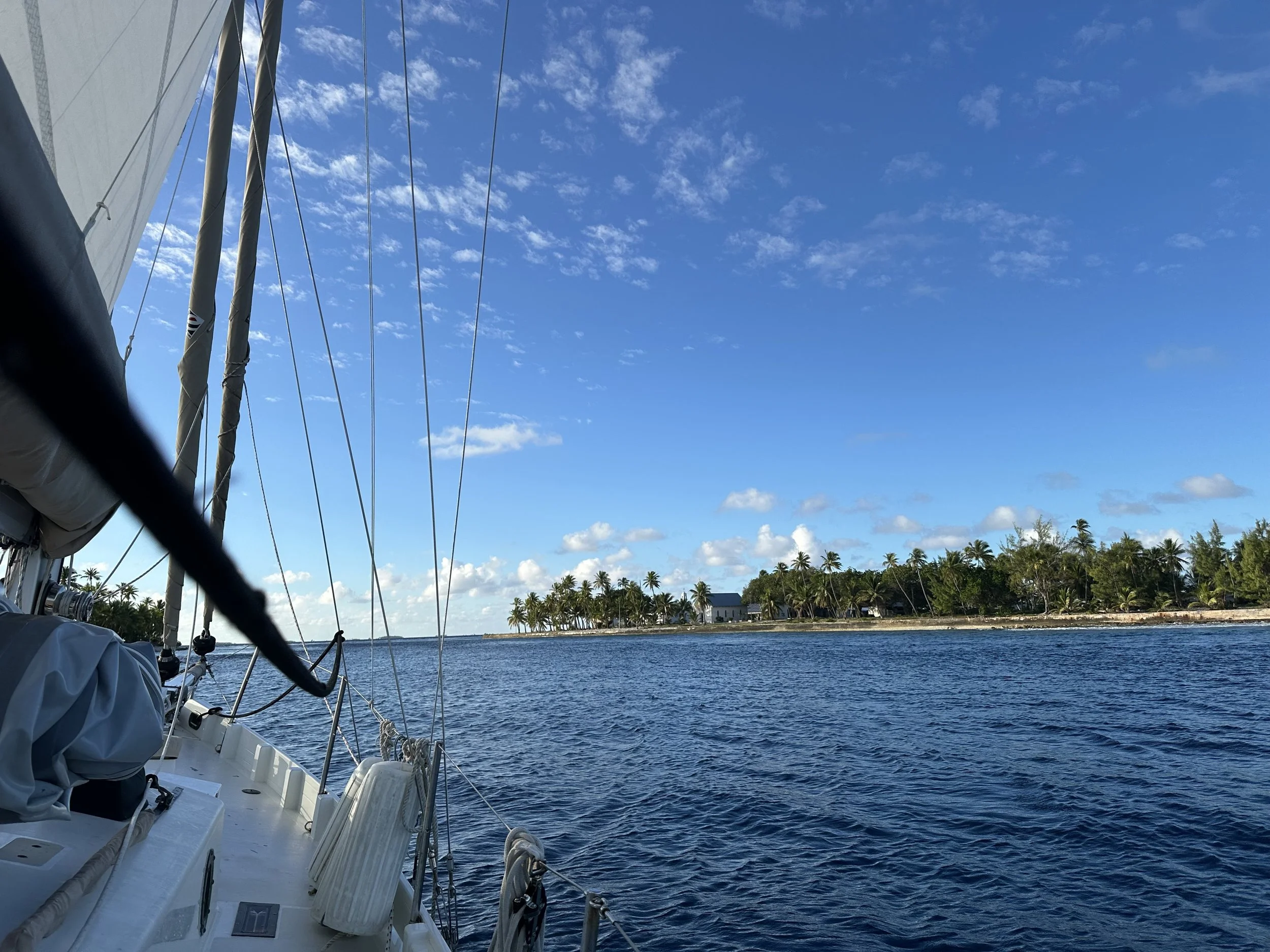
The church from the pass
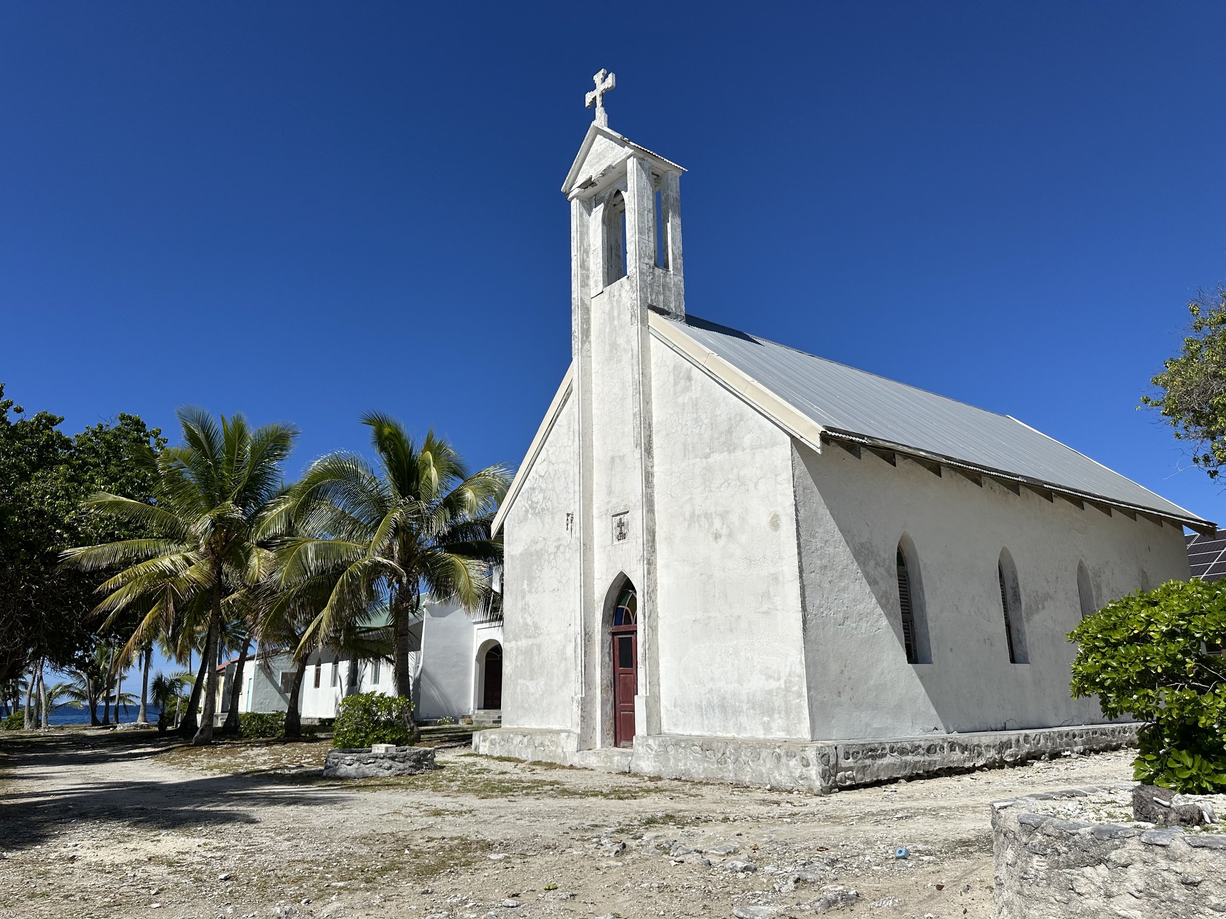
Church at village of Ikitake, Amanu
This tree could tell some tales
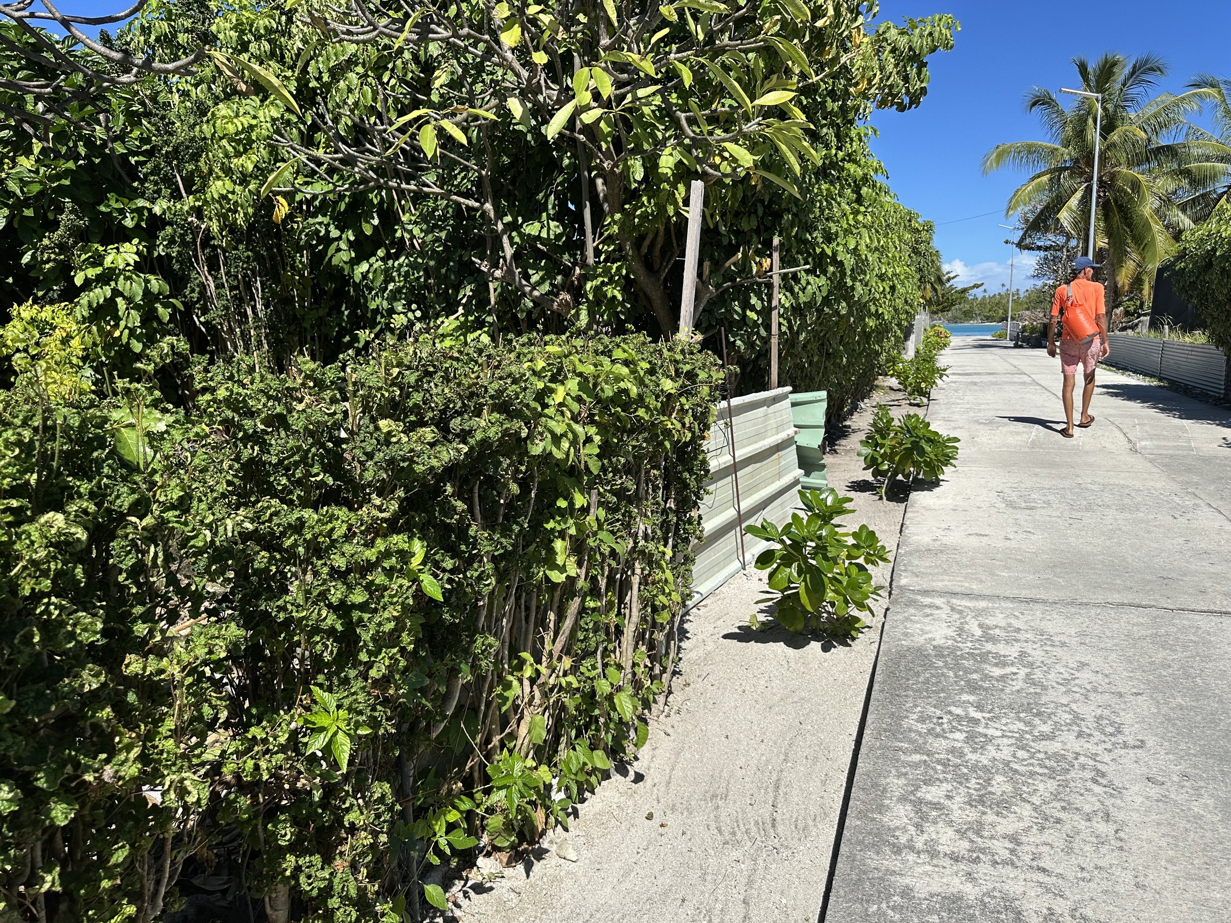
The 2+ foot sand strip between house and road? Raked. Always.
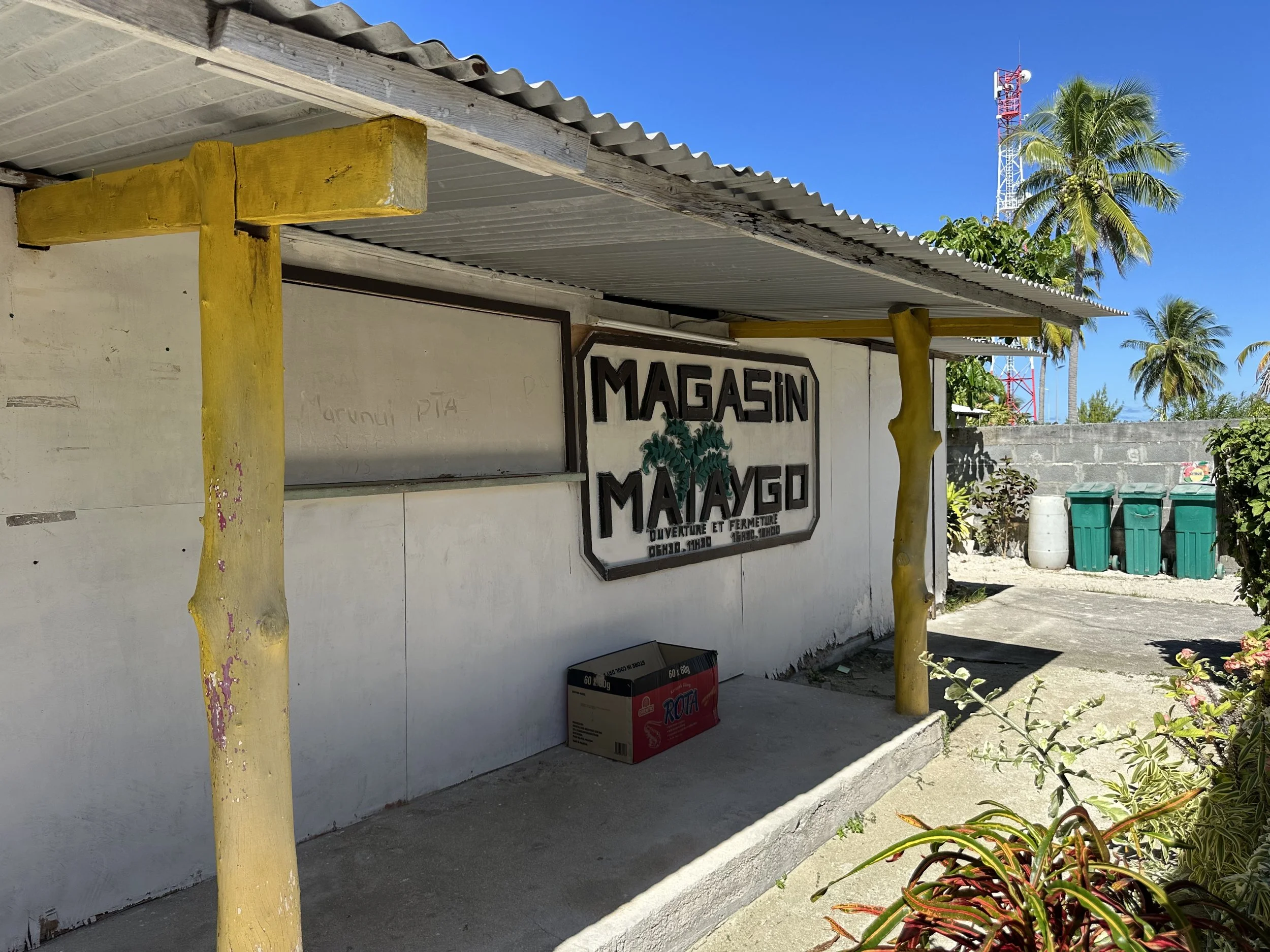
The store (unfortunately closed) Note no door: you point to what you want and it’s handed to you.
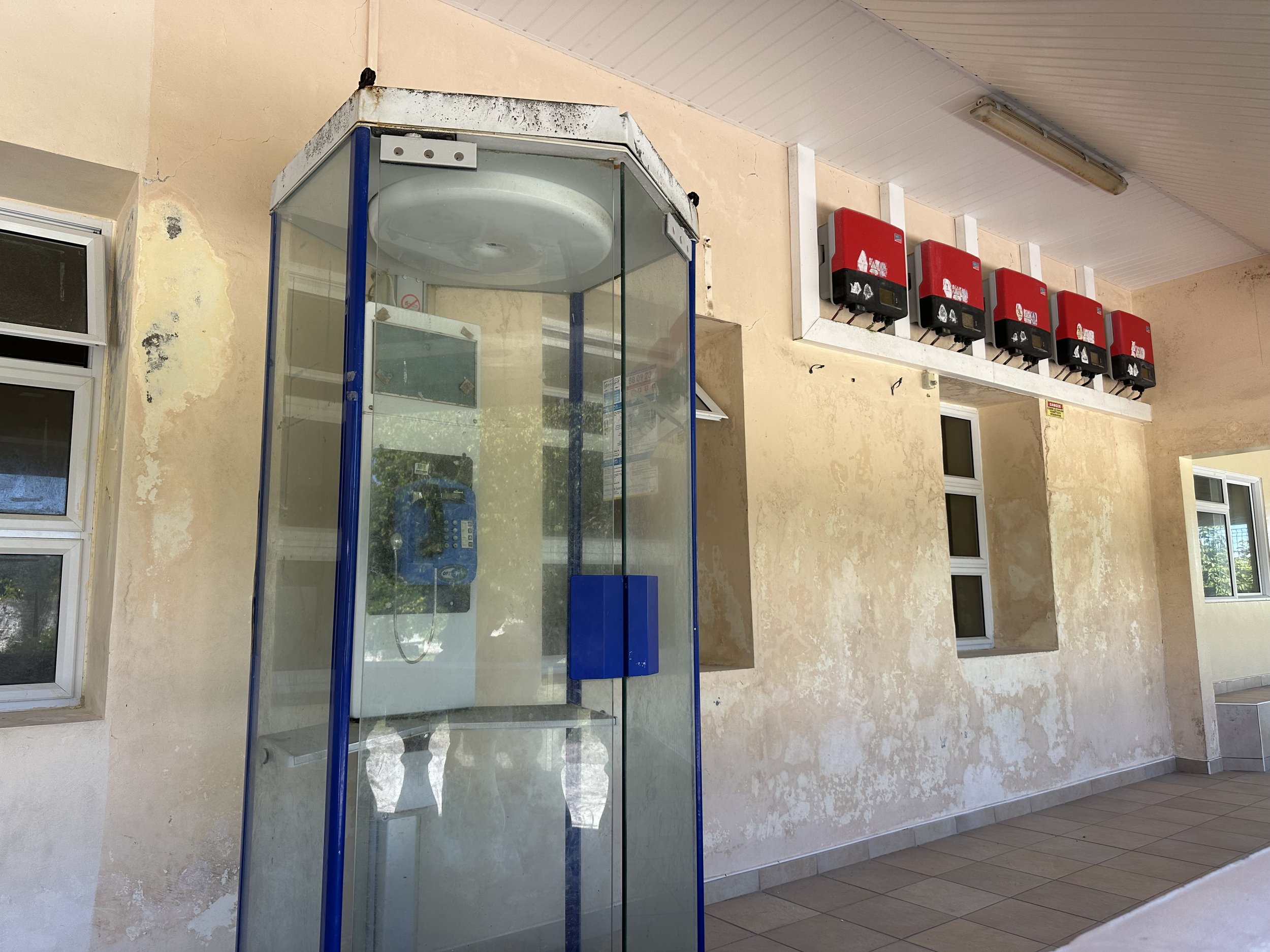
Phone booth at the post office
Anchorage #6
L’Etoile. Possibly the most unique anchorage I’ve ever encountered. It’s a triangular reef INSIDE the lagoon, with a sandy shelf extending a long enough way to the south that it’s possible to anchor here. No going ashore happening here (there’s no land to speak of) but we finally broke out the snorkel gear and poked around, marveling at the schools of fish and the multiple Christmas tree worms. We spent 2 nights here and then our time at Amanu (at least this time around) was over.

L’Etoile anchorage. We’re the boat solidly in the sand.
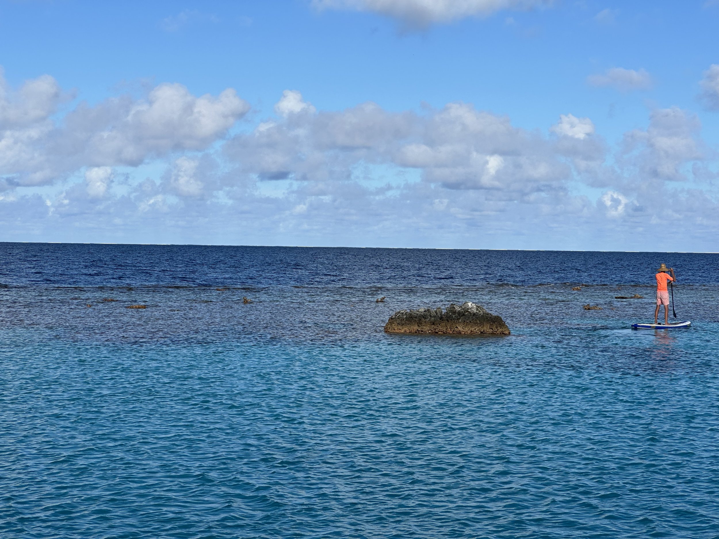
Jeremy paddleboarding around the reef off our bow
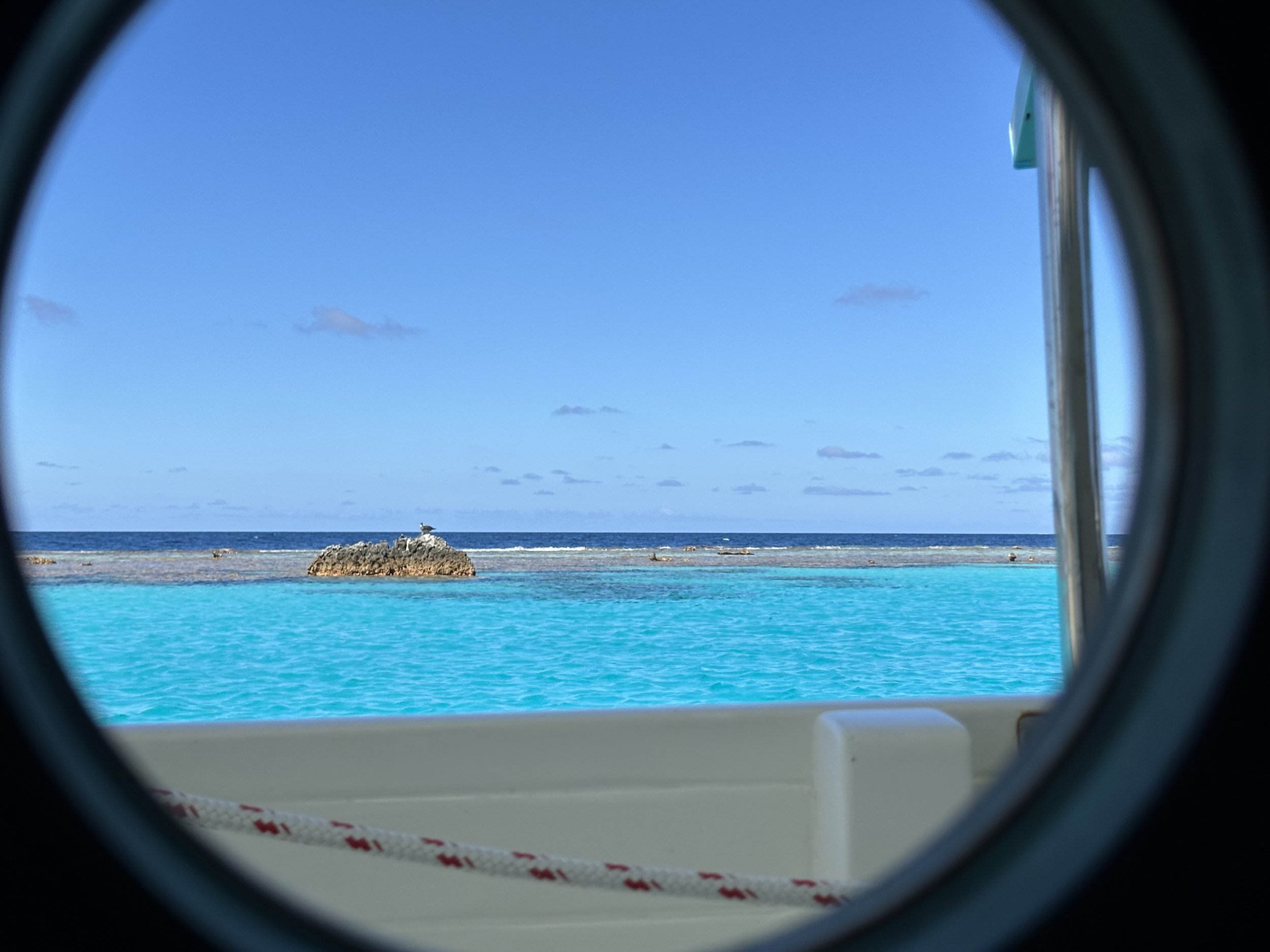
View from the galley port
Next up . . . we brave the notorious Kaki Pass and make our way into Hao, about 15 miles south of Amanu.