NoForeignLand - an excellent resource for cruisers!
Cruising often involves taking yourself to an unfamiliar place, though it doesn’t absolve you from needing to accomplish familiar tasks. Things like grocery shopping, or buying gasoline or diesel. Laundry, maybe. Perhaps you’re jonesing for someone else to do the cooking for once, or even wondering where a good snorkel spot might be.
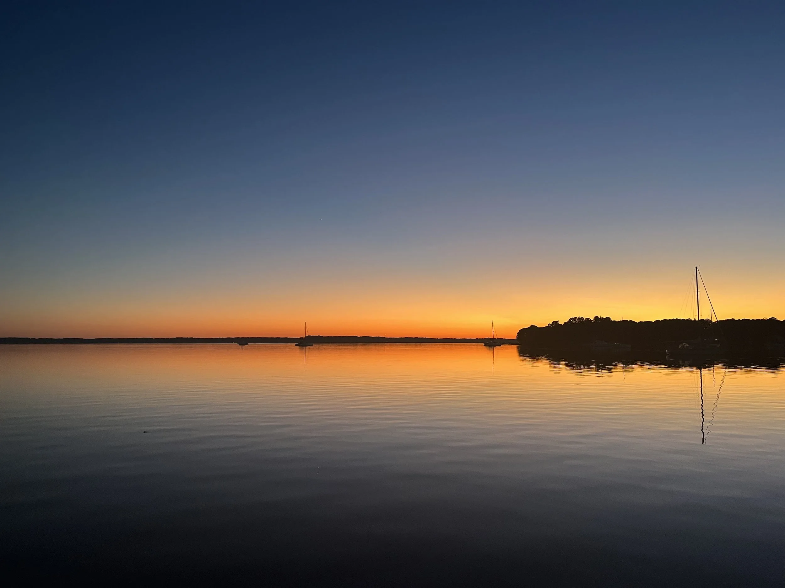
Deltaville sunset. Because who doesn’t love a sunset photo?
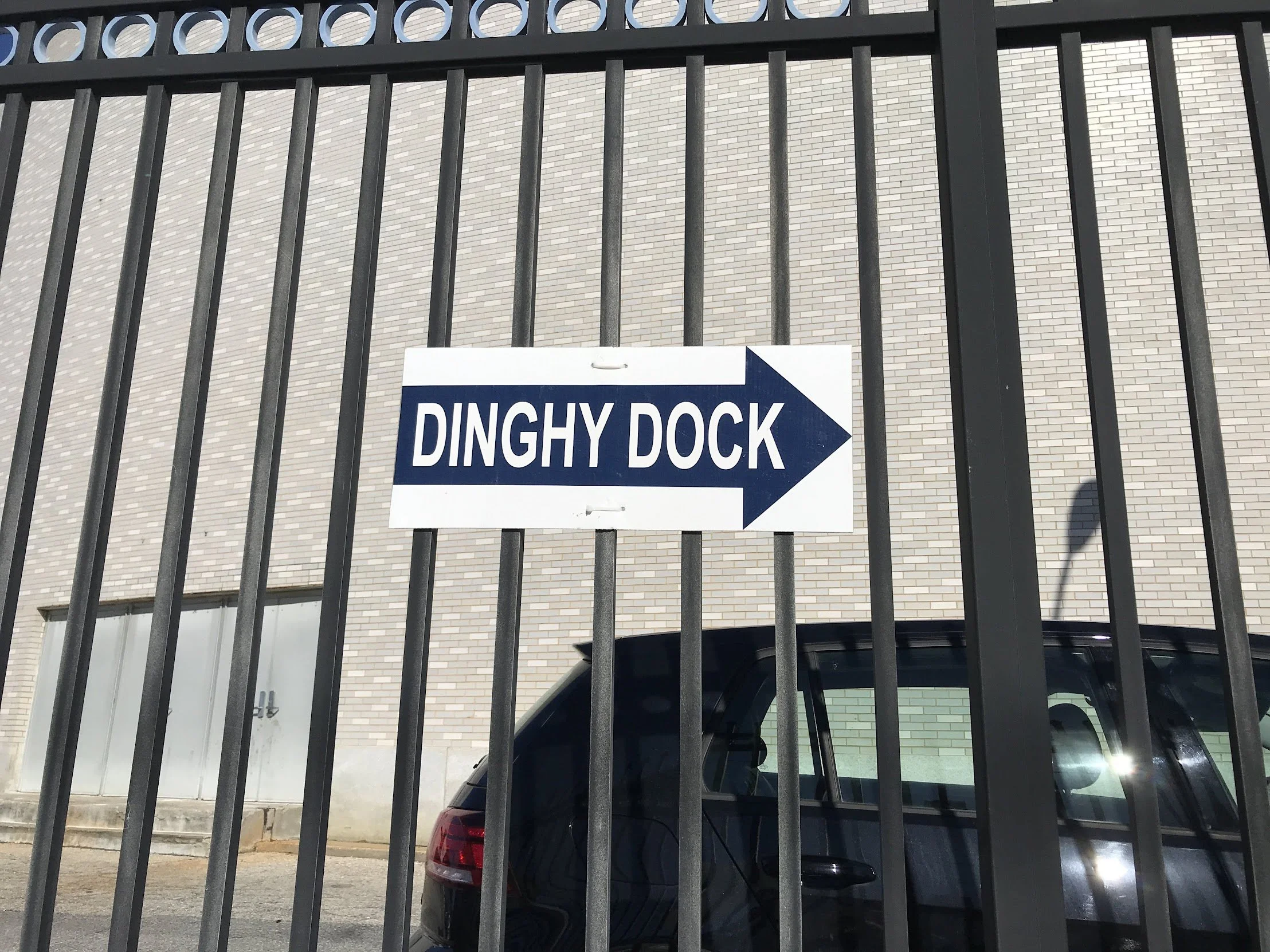
Sometimes it’s not even obvious how you’re going to be able to get ashore!
Spoiler: this is not a frequent sighting
There are lots of ways to answer these questions, of course. You can sift through it all on Google Maps. Fire up your chart plotter and look at (horribly outdated, impossibly organized) Active Captain. Go through cruising guides and hope all the info hasn’t changed. There’s something to be said for doing your own research, after all.
Want it faster? There is an app!
NoForeignLand, free to use with no hidden gotchas at all (they’re supported by Patrons and allow no advertising or spam on the site), offers free tracking, access to community information, and various social features including niche groups and chatting. It was built by cruisers and is a fabulous easy-to-use trove of information.
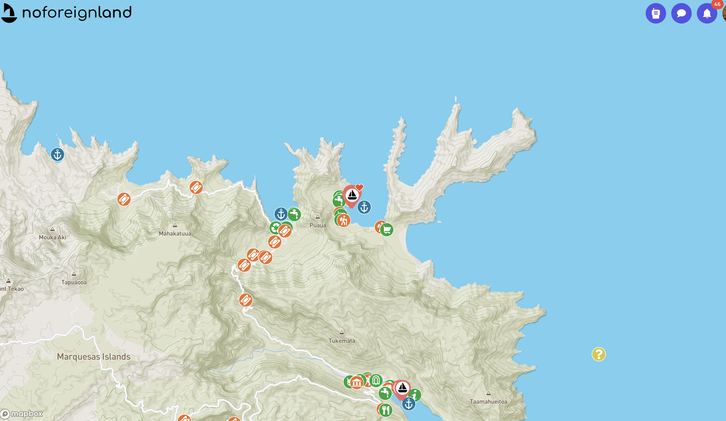
A shot of the anchorage where we are, plus a bit more of the island
My favorite features of this app, which is the first place I go when I’m trying to find information about a new anchorage, are
the easy graphics that indicate what kind of “amenity” is where in a given place. There’s an icon for a store, one for laundry, one for dinghy landing, and so many more. It’s easy to filter by location or by specific type of amenity. Results are listed by distance from where you are.
the photos and reviews available for each amenity, and the easy way for me as a cruiser to add my own.
the ability to follow boats so I can see where buddies are with ease.
that any reviews are from a cruiser’s perspective
Once upon a time we carried cruising guides with us as the definitive resource for a given area. As the internet became more prevalent, we started using things like Google Maps - a great resource in more stable areas but prone to errors in less traveled locations. It’s not uncommon in the Caribbean or the Bahamas to find a spot prominently displayed on Google Maps that simply doesn’t exist any longer. With NoForeignLand, if a place doesn’t exist any longer, you as a cruiser can update the information so it stays current.
It’s crowd sourced information with a social angle, created by cruisers for cruisers. Their core concept is that “Sailors should be able to share information”, not have it hidden behind a paywall.
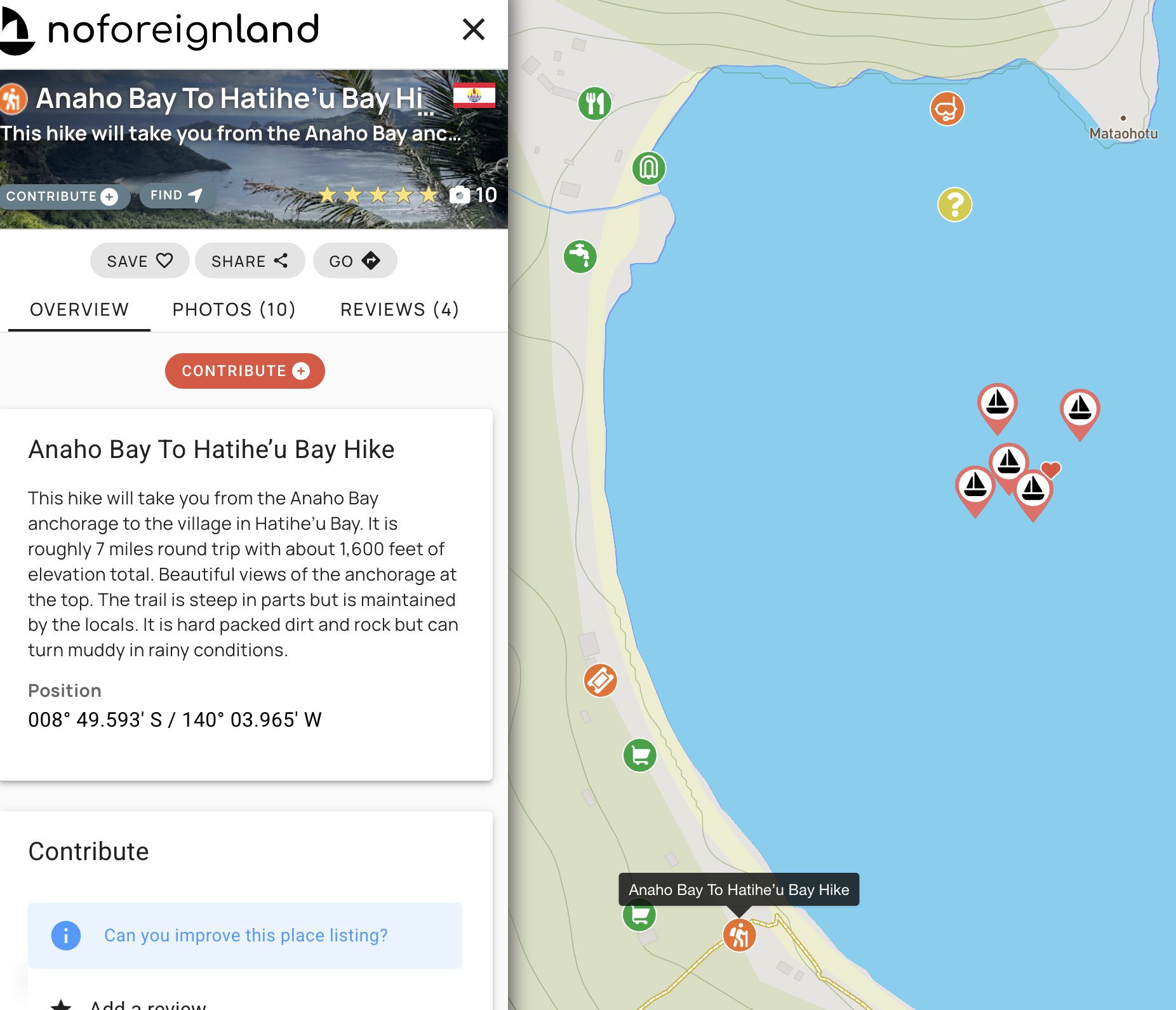
Oooh a hike! Click on the icon and you get lots more information. The boat with a heart icon is one we follow.
Having NoForeignLand has allowed us to learn a lot about an area before we get there. It’s fun to add our own markers to the map, hopefully helping those who come after us. We especially love following our friends all across the globe, seeing where they’re going and keeping track of them - and we’ve made new friends by seeing boats that are nearby.

So many friends all over!
It’s a great resource!