
Guadeloupe: Exceeding Expectations (so far)
When we cruised the eastern Caribbean in the 1990s, we all but bypassed Guadeloupe because of the well-deserved reputation it had for being extremely unfriendly (immediate expulsion after a hefty fine) to vessels without federal documentation, which was us back then. So this time around, our expectation was that we’d not find anything of interest. A small fishing village, an over-hyped, dead-coral national park of Jacques Cousteau fame, and then the prize of Ile Des Saintes at the south western side. We’d figured a week, at the outside, to keep us busy before heading to Dominica where we fully expect to blow the budget on land tours and river exploration, to say nothing of overstocking the veg bin with local produce.
A week in, we are happy to admit our expectations were dead wrong.
Guadeloupe is shaped kind of like a butterfly. The western section is younger (and taller) geologically, with tall lush mountains and a still active volcano that apparently gets 10 METERS of rain a year. We caught one glimpse of the caldera at the top; most of the time it was shrouded in a cloud of rain. Gotta love the French sense of humor that has the western section called Basseterre (low land) while the eastern half, the flatter and much lower side, is called Grande Terre (high land). So there are 2 north coasts and 2 south coasts, as it were. The dip between the 2 sections houses a river that once upon a time was navigable by boats drawing less than 6 feet; the opening bridge at the north end of that was a short-lived proposition and it’s now permanently closed so traffic can freely drive across.

Calypso’s track around Guadeloupe
Guadeloupe is a department of France, with excellent bread and goat cheese available even in the small convenience stores in tiny fishing villages. We pulled into Deshaies (pronounced Day-hay), on the northwest corner, on Tuesday, February 21, with plenty of time to clear customs and settle into a little people watching.
Clearing into the French territories (officially Departments of France) is largely hassle-free, though being able to read French is important. Happily, Jeremy takes that on . . . in all three places we’ve been so far (St Martin, St Barths, and now Guadeloupe), you go either to a local business (St Martin and Guadeloupe) or to the port captain’s office (St Barths) and get onto a special computer to fill out the form, which is then printed out, checked against your actual paperwork, and signed by the person authorized to do so. No stamps in passports, unfortunately. Simple and inexpensive; the hardest part has been waiting behind others who can’t quite figure out the French. Or they’re trying to check in a boat with 10 people on it (entering numbers you’re copying from passports, 10 times in a row .. .). Or they’re messed up by the non-QWERTY keyboard. All good though!
Deshaies’s claim to fame is the botanical gardens, a small but extremely well-laid out oasis of exotic plants at the top of a steep hill maybe a mile from the dinghy dock. There’s a one-way walking path that winds you around the whole place, going up and down in switchbacks that surprisingly allow for a lot more people than I thought possible when we saw the full-to-overloaded parking lot, the 2 cruise ships shuttling people into the dock, and even the calendar: we were there on Ash Wednesday which was clearly a school holiday.

I’d never seen orchids outside of pots . . .
Deshaies is a bay with high hills. The wind funnels down in blasts, meaning it’s a good idea (as always, really) to make sure your hook is very well set. The clarity of the water is a treat, especially after the very turbid anchorages we were in in Antigua. I watched the anchor hit the sand bottom in just over 20 feet of water!
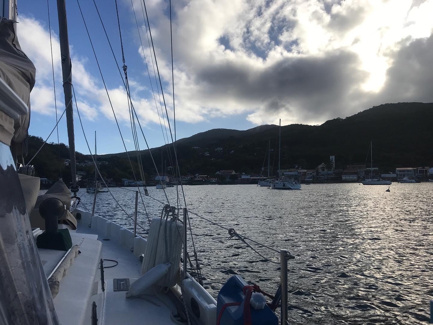
Looking in towards town from the boat.
Most cruisers stick to the west coast of the island, staying away from the inhospitable windward shore. Going around the east side means being exposed to wind and waves that have had thousands of miles from Africa to traverse the Atlantic undisturbed. Bonus with going that way is that you see the north coasts, can spend some time in the national park area near the offshore reefs, eyeball the incredibly different topography, AND be able to visit Marie Galante, off the south east coast, on a downwind trajectory. When the wind forecast was for light winds, we took advantage and headed up and around.

Northeast corner!
I’ve got no idea how long it’ll be before we can tear ourselves away. Sailing along the north coasts, inside the reef, gave us glimpses of varied scenery; going around the north east tip allowed us to see cliffs and very rugged terrain. We’ve got a mooring reserved at one of the national park islands (Petite Terre) for Tuesday night and from there we’ll go over to Marie Galante for at least a couple of days (watch it be more like 4 or 5) before moving to the Saintes. We still want to rent a car (or at least thoroughly exhaust the bus system) to get inland on the mainland. Do we go north from the Saintes along the western shore? Go south to Dominica first and then do the Guadeloupe explore when we come back north in a month? So many choices!

A beautiful Guadeloupe sunset