(Re)Learning Weather Lessons
Weather rules all when you’re cruising. This is a lesson we’ve learned in the past - but apparently we needed to re-learn it this time out.
Note: this is not in reference to Hurricane Henri, which popped up the day we arrived in Block Island. We hightailed it out of Block, which at the initial stages looked like it might be in the cross hairs, about 20 hours after arriving. No morning pastries from Aldo, no mudslides at the Oar, no bike rentals. Heck, we didn’t even put the engine on the dinghy before hauling the anchor back up and starting the race west. The lesson about putting distance between you and a hurricane is not one we needed to learn again.

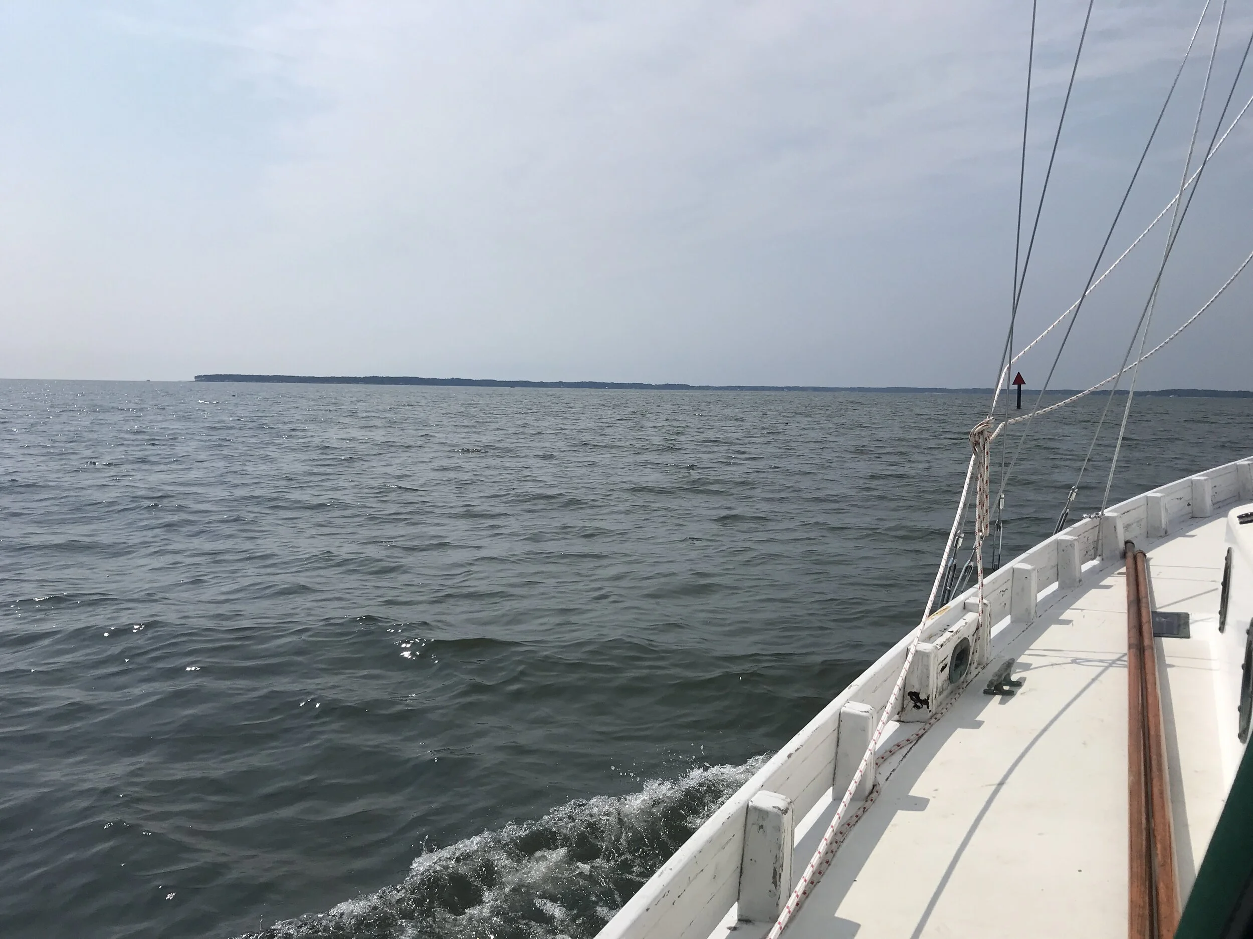
Sunrise on the Delaware Bay.
We’ve sort of set Maine as our goal for this summer season, which is shorter than we’d hoped because of boat projects taking longer than we thought. So once we actually started moving (August 9), we really wanted to make tracks.
Lesson 1: Looking at the long term forecast picture is a good place to start. This is not a lesson we needed to re-learn, thankfully. Sliding out the bottom of the Chesapeake Bay and going offshore immediately to the Cape Cod Canal would have required a 3-4 day window, not including the day to get to the Cape Charles area. The forecast just wasn’t there. Sure, we could have chanced it and maybe gotten lucky - or not. We chose instead to go north through the Chesapeake Bay, through the C&D Canal, and then down the Delaware to Cape May where we could wait for the right window to go north. It shaved about 60 miles off the offshore leg, though adding a few days to the transit in between.
Lesson 2: Have contingency plans always at the ready. Our initial thought was to go overnight up the Bay. Radar (which we could access since we still had good cellular reception) showed an intense band of convection marching its way from Pennsylvania over to the Atlantic coast. Thunderstorms often bring with them crazy winds and sharp seas; best not to be in open water if you can avoid it. Knowing we could duck out at Solomons, an entrance and anchorage we’re familiar with, made it a no-brainer to do just that. The following night saw similar radar pictures and we were really happy to get some advice on bailout points from our friend Dave.
Heavy looking clouds.
Lesson 3: Don’t try to push the forecast! This one, I’m sorry to say, is the one we really needed to re-learn, the hard way. We’d been sitting in Cape May for a couple of days, being bounced around by wakes and worrying about the anchoring techniques of those nearby. We’d done laundry and were itching to get north. The winds, though, were northeast to east. They’d been that way for a few days. We really needed at least southeast winds to be able to sail (our angle from Cape May to the Cape Cod Canal was 49 degrees.) So when the forecast for Monday afternoon/evening was east-southeast becoming southeast after midnight, we thought we might have a shot.
I don’t like leaving at dusk. If we’re going into an overnight passage, I’d much prefer to get moving during daylight, to get myself oriented to being at sea when I can see clearly. And waiting until the next morning felt like a waste of another night at an anchorage we weren’t wild about. If we could go at 8 pm, why not leave at 2 pm? The winds were already easterly!
Remember those days of easterly winds? They also produced an easterly swell. Combined with a steep cross chop. Combined with a wind that was stubbornly easterly, maybe a smidge south of east. Not the 5-10 knots that was forecast either, but a steady 15-20. And drizzle. And Jeremy had to hand steer, since our autopilot was not strong enough to deal with the seastate.

Can you see the sharp angle of the stove? Dinner is cooking.
By about 8 pm, we’d set a new waypoint for Atlantic City (see lesson #2 on contingency plans). I’d spelled Jeremy for about 20 minutes to give him time to eat dinner, read about the inlet, go to the bathroom - and wondered how he kept going. The seas were horrible. The boat was being tossed around by the waves, crashing down and slewing sideways as it was caught by a cross swell. The winds might be veering to the southeast, but this was not sailable.
When the anchor finally caught at midnight, the rolly anchorage felt like a respite. And when we left in the morning, after checking the forecast and reading buoys and listening to a couple of boats on the VHF confirm the seas and winds, our sail was delightful. The sun was out. The autopilot was steering. The boat was loving the gentler swells with about 90% less cross chop. The weather window was closing fast, with a storm (not Henri, not yet in the picture) set to influence New England weather starting on Thursday morning. We debated going into New York City but the sailing was so delightful we kept going, heading straight for Block Island.
If we’d waited until 8 pm to leave Cape May, would we have had a better trip? Is the stretch from Cape May to Atlantic City just shallow and thus prone to steep seas? Or is it that we needed to wait for the seas to lay down sufficiently after the few days of strong easterlies?
What we did wrong:
Look for what we want to see in the forecast.
Be reluctant to leave at dark.
Be in a hurry to leave.
What we should have done:
Corroborated the forecast with actual conditions. Contacted boats underway to see what it was actually like out there.
Left right after dinner, or even in the morning.
Lesson learned. Don’t push the forecast.
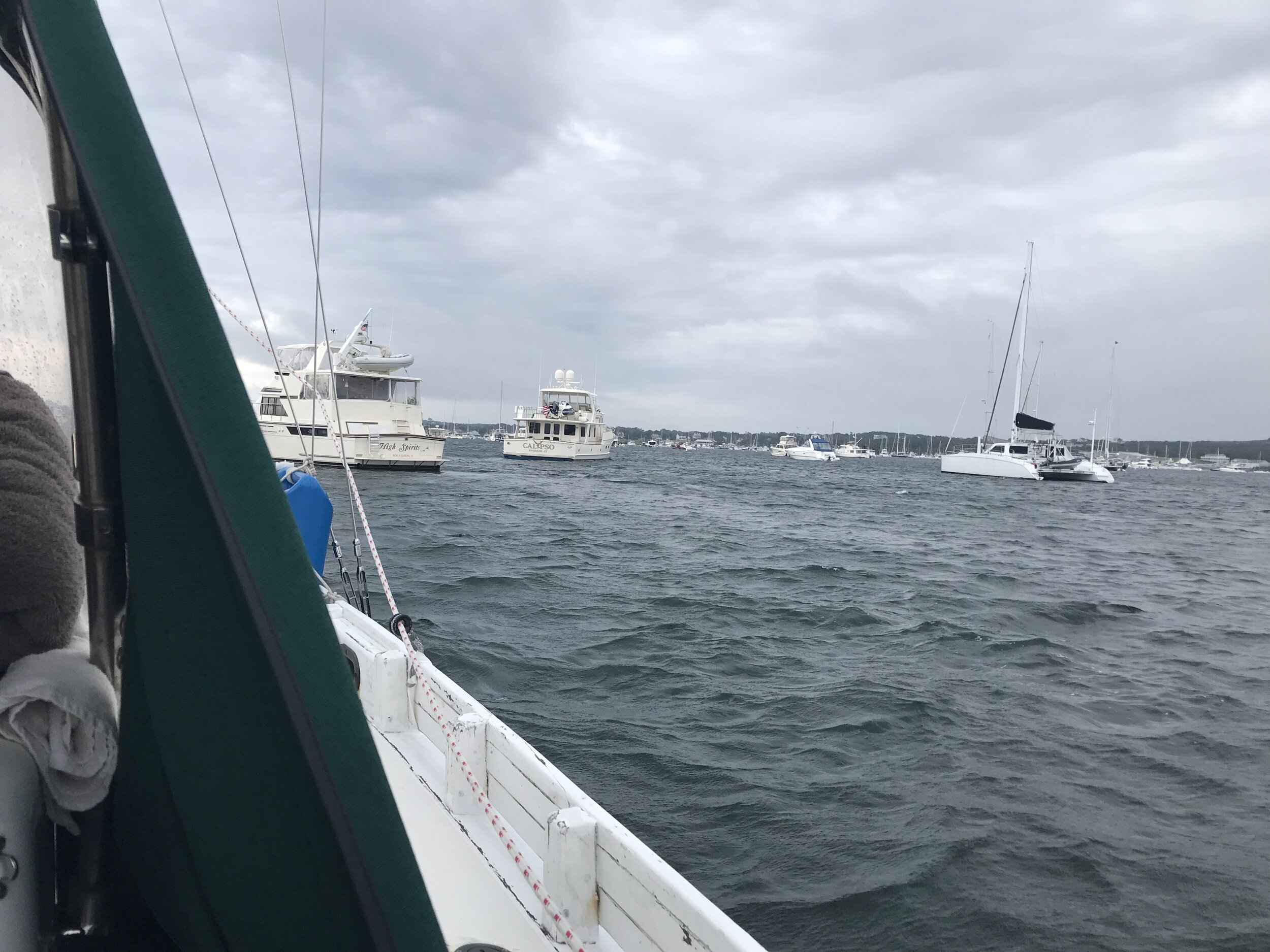
Block Island anchorage on a grey day.